von Niederhausen durchs Schwarzbachtal über Hermersberg u. Wallhalben CLONED FROM ROUTE 78269
- 82.6 km
- 637 m
- 631 m
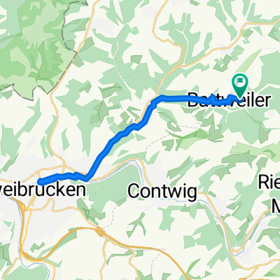
- Battweiler, Rhineland-Palatinate, Germany
Mainly country road. The climb from the valley to the height (around Battweiler) is a bit strenuous.
Track
7.5 km23 %Road
6.6 km20 %Paved
28.2 km(86 %)Unpaved
3 km(9 %)Asphalt
24 km73 %Paved (undefined)
3.9 km12 %Pfarrhöfchen (Ruine).
Schöner Platz zum Rasten.
Free trial for 3 days, or one-time payment. More about Bikemap Premium.
Discover more Premium features.
Get Bikemap PremiumOpen it in the app