
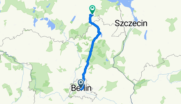
Die Route fürs Alleycat/Groupride
A cycling route starting in Tiergarten, State of Berlin, Germany.
Overview
About this route
The route for the Alleycat/Groupride
- -:--
- Duration
- 144.4 km
- Distance
- 304 m
- Ascent
- 252 m
- Descent
- ---
- Avg. speed
- ---
- Max. altitude

Route quality
Waytypes & surfaces along the route
Waytypes
Quiet road
14.4 km
(10 %)
Path
13 km
(9 %)
Surfaces
Paved
121.3 km
(84 %)
Unpaved
1.4 km
(1 %)
Asphalt
114.1 km
(79 %)
Concrete
5.8 km
(4 %)
Continue with Bikemap
Use, edit, or download this cycling route
You would like to ride Die Route fürs Alleycat/Groupride or customize it for your own trip? Here is what you can do with this Bikemap route:
Free features
- Save this route as favorite or in collections
- Copy & plan your own version of this route
- Split it into stages to create a multi-day tour
- Sync your route with Garmin or Wahoo
Premium features
Free trial for 3 days, or one-time payment. More about Bikemap Premium.
- Navigate this route on iOS & Android
- Export a GPX / KML file of this route
- Create your custom printout (try it for free)
- Download this route for offline navigation
Discover more Premium features.
Get Bikemap PremiumFrom our community
Other popular routes starting in Tiergarten
 Seddiner See
- Distance
- 115.4 km
- Ascent
- 229 m
- Descent
- 229 m
- Location
- Tiergarten, State of Berlin, Germany
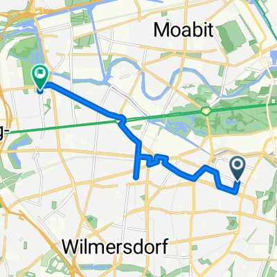
 Rund um die Puppen
- Distance
- 14.7 km
- Ascent
- 112 m
- Descent
- 110 m
- Location
- Tiergarten, State of Berlin, Germany
 Begleitung ERT 2008
- Distance
- 148.2 km
- Ascent
- 358 m
- Descent
- 350 m
- Location
- Tiergarten, State of Berlin, Germany
 Skoda Velothon 2011 60km
- Distance
- 63.9 km
- Ascent
- 0 m
- Descent
- 0 m
- Location
- Tiergarten, State of Berlin, Germany
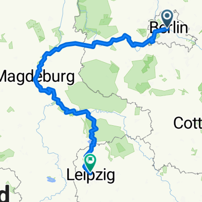 Von Berlin bis Leipzig
- Distance
- 364.5 km
- Ascent
- 1,140 m
- Descent
- 1,041 m
- Location
- Tiergarten, State of Berlin, Germany
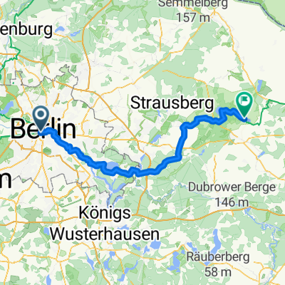 Tiergarten - Müncheberg
- Distance
- 79.8 km
- Ascent
- 18 m
- Descent
- 4 m
- Location
- Tiergarten, State of Berlin, Germany
 Stadtführung Berlin, Rundgang oder Radtour durch den Westen von www.stadtspiele-verlag.de
- Distance
- 7.4 km
- Ascent
- 54 m
- Descent
- 54 m
- Location
- Tiergarten, State of Berlin, Germany
 2021 Spreewald Tag 7: Radrundtour Berlin, 16 km
- Distance
- 15.6 km
- Ascent
- 75 m
- Descent
- 72 m
- Location
- Tiergarten, State of Berlin, Germany
Open it in the app