stoupák na Moravici
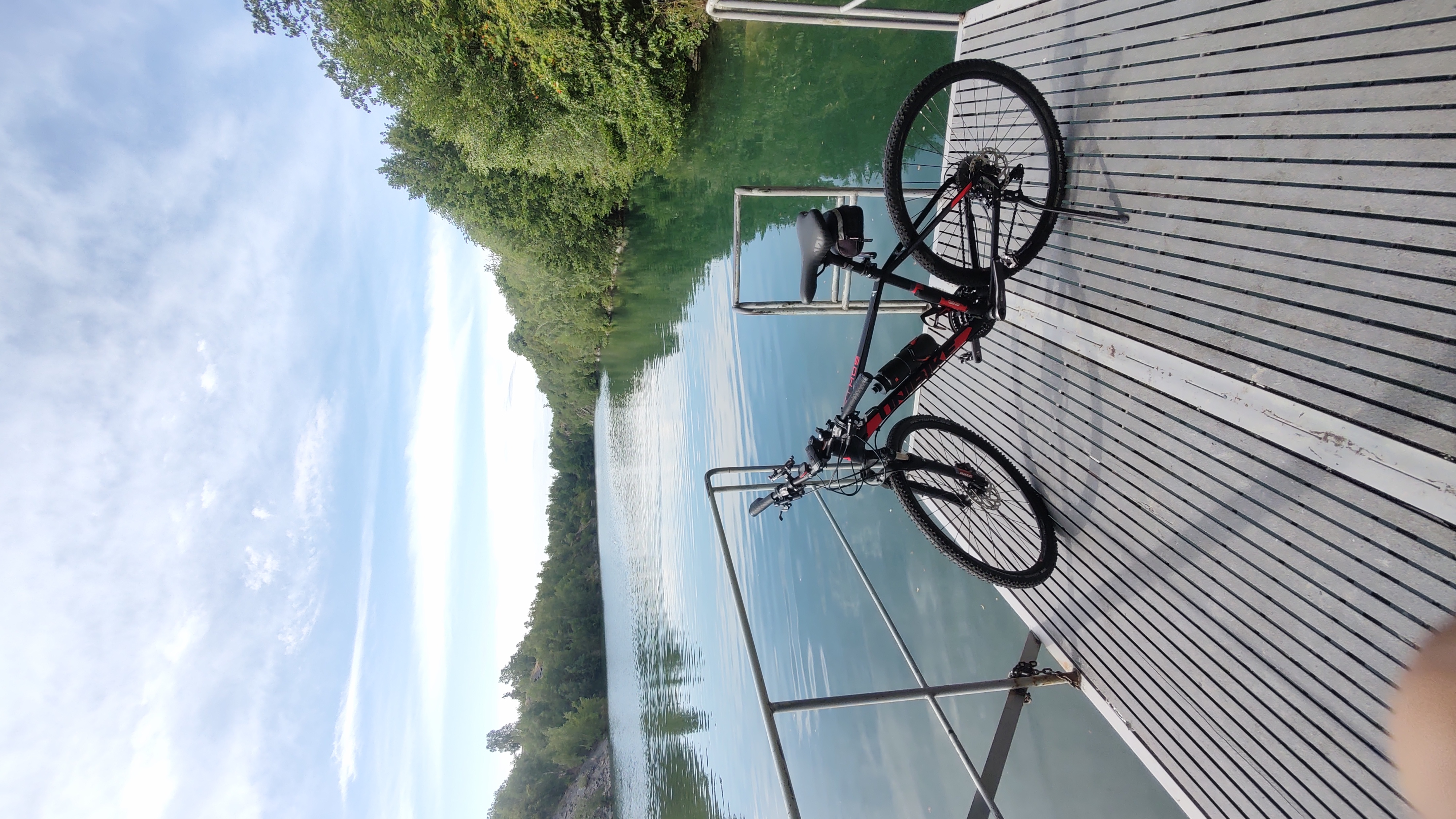
A cycling route starting in Branice, Opole Voivodeship, Poland.
Overview
About this route
Route mainly on third-class roads in the Opava district. The section between Nový Dvůr and Březová follows a forest road marked as a cycling route.
- -:--
- Duration
- 46.7 km
- Distance
- 562 m
- Ascent
- 551 m
- Descent
- ---
- Avg. speed
- 550 m
- Max. altitude
Route quality
Waytypes & surfaces along the route
Waytypes
Road
30.8 km
(66 %)
Quiet road
4.7 km
(10 %)
Surfaces
Paved
2.8 km
(6 %)
Unpaved
2.3 km
(5 %)
Asphalt
2.8 km
(6 %)
Ground
1.4 km
(3 %)
Continue with Bikemap
Use, edit, or download this cycling route
You would like to ride stoupák na Moravici or customize it for your own trip? Here is what you can do with this Bikemap route:
Free features
- Save this route as favorite or in collections
- Copy & plan your own version of this route
- Sync your route with Garmin or Wahoo
Premium features
Free trial for 3 days, or one-time payment. More about Bikemap Premium.
- Navigate this route on iOS & Android
- Export a GPX / KML file of this route
- Create your custom printout (try it for free)
- Download this route for offline navigation
Discover more Premium features.
Get Bikemap PremiumFrom our community
Other popular routes starting in Branice
- Pietrovice-Krnov-Bykov-Cvilin-Krnov-Pietrowice
- Distance
- 28.6 km
- Ascent
- 341 m
- Descent
- 339 m
- Location
- Branice, Opole Voivodeship, Poland
- kto rano wstaje...
- Distance
- 58 km
- Ascent
- 539 m
- Descent
- 590 m
- Location
- Branice, Opole Voivodeship, Poland
- Dzień drugi 2019
- Distance
- 104.7 km
- Ascent
- 472 m
- Descent
- 466 m
- Location
- Branice, Opole Voivodeship, Poland
- Słoneczna 7, Branice do Szkolna 3a, Branice
- Distance
- 11.4 km
- Ascent
- 10 m
- Descent
- 32 m
- Location
- Branice, Opole Voivodeship, Poland
- Tour de Korona Polski 2020 dzień 10
- Distance
- 113.4 km
- Ascent
- 810 m
- Descent
- 736 m
- Location
- Branice, Opole Voivodeship, Poland
- branive-vrbno-jesenik-jezioro nyskie ,Pokrzywna, Prudnik Albrechtice, Branice
- Distance
- 196.8 km
- Ascent
- 1,207 m
- Descent
- 1,212 m
- Location
- Branice, Opole Voivodeship, Poland
- Kręcenie się przy granicy
- Distance
- 28.4 km
- Ascent
- 285 m
- Descent
- 285 m
- Location
- Branice, Opole Voivodeship, Poland
- branice - krnow - pradziad - sucha rudna - krnow - branice
- Distance
- 125 km
- Ascent
- 1,529 m
- Descent
- 1,542 m
- Location
- Branice, Opole Voivodeship, Poland
Open it in the app