

Wyprawa - 2013
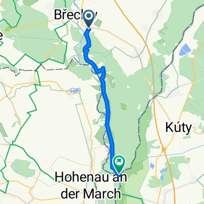
A cycling route starting in Břeclav, South Moravian, Czechia.
Overview
About this route
Moja wyprawa rowerowa - 2013
Trasę pokonałem samotnie od 17 czerwca do 17 lipca 2013 (cloned from route 1868903)- -:--
- Duration
- 3,546.3 km
- Distance
- 5,483 m
- Ascent
- 5,372 m
- Descent
- ---
- Avg. speed
- ---
- Max. altitude

Route highlights
Points of interest along the route

Point of interest after 31.5 km
17.06.2013

Point of interest after 122.3 km
18.06.2013

Point of interest after 814.4 km
22.06.2013 Camping w Auen

Point of interest after 890.1 km
23.06 na dziko

Point of interest after 1,265.7 km
Muzeum Lamborghini

Point of interest after 1,278.4 km
Fabryka Pagani Zonda

Point of interest after 1,300.5 km
Muzeum Ferrari

Point of interest after 3,535 km
To będzie miły widoczek, dom !!
Continue with Bikemap
Use, edit, or download this cycling route
You would like to ride Wyprawa - 2013 or customize it for your own trip? Here is what you can do with this Bikemap route:
Free features
- Save this route as favorite or in collections
- Copy & plan your own version of this route
- Split it into stages to create a multi-day tour
- Sync your route with Garmin or Wahoo
Premium features
Free trial for 3 days, or one-time payment. More about Bikemap Premium.
- Navigate this route on iOS & Android
- Export a GPX / KML file of this route
- Create your custom printout (try it for free)
- Download this route for offline navigation
Discover more Premium features.
Get Bikemap PremiumFrom our community
Other popular routes starting in Břeclav
 Břeclav - Lednice - Valtice (zámky, rozhledny)
- Distance
- 30.4 km
- Ascent
- 124 m
- Descent
- 125 m
- Location
- Břeclav, South Moravian, Czechia
 EuroVelo 9 im Weinviertel
- Distance
- 85.3 km
- Ascent
- 304 m
- Descent
- 304 m
- Location
- Břeclav, South Moravian, Czechia
 Břeclav/ Češka – Bratislava/ Slovaška
- Distance
- 96.1 km
- Ascent
- 139 m
- Descent
- 154 m
- Location
- Břeclav, South Moravian, Czechia
 Lednicko-valtický areál 2017
- Distance
- 52.7 km
- Ascent
- 197 m
- Descent
- 196 m
- Location
- Břeclav, South Moravian, Czechia
 Soutok
- Distance
- 17.8 km
- Ascent
- 84 m
- Descent
- 84 m
- Location
- Břeclav, South Moravian, Czechia
 Breclav - Vienna (89 km)
- Distance
- 89.3 km
- Ascent
- 398 m
- Descent
- 356 m
- Location
- Břeclav, South Moravian, Czechia
 Pod Zámkem 1, Břeclav to Pod Zámkem 1, Břeclav
- Distance
- 25.2 km
- Ascent
- 224 m
- Descent
- 227 m
- Location
- Břeclav, South Moravian, Czechia
 Wyprawa - 2013
- Distance
- 3,546.3 km
- Ascent
- 5,483 m
- Descent
- 5,372 m
- Location
- Břeclav, South Moravian, Czechia
Open it in the app