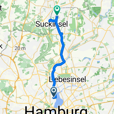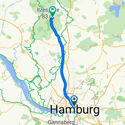
Alsterchaussee nach Hauptstraße
- 65.6 km
- 201 m
- 255 m
- Eimsbüttel, City state of Hamburg, Germany
A cycling route starting in Eimsbüttel, City state of Hamburg, Germany.
Overview
From Harvestehude through the city center to Hafencity, then under the Elbe bridges to Rothenburgsort. At Ausschläger Elbdeich, Kaltehofe Hauptdeich, Moorfleeter Hauptdeich to the Tatenberg lock.
Then yes, depending on the wind, right along the Hauptdeich (west wind) or sheltered over the Tatenberg dike (east wind) up to the roundabout at Borghorst. Straight on towards Escheburg until the B5, then right for a few hundred meters until it turns left towards Fahrendorf. At the 404 left north (Caution, very busy and speeders, so better to use the bike path!!!) just before Aumühle left onto L208 towards Escheburg, then again over the B5 south and back to the roundabout.
Instead of going straight along the dike, you can turn right at the roundabout and then immediately left onto the Marschbahndamm (unfortunately the system doesn't take this route). Right on Kiebitzdeich and back through the Vier and Marschenlande towards Tatenberg. Then again exactly like on the way there or over Moorfleeter Dike and Ausschläger Elbdeich to the Elbe bridges. Then back through Freihafen and Hafencity.
total about 105 km.
Many possibilities for changes in the Vier and Marschenlanden, depending on wind/weather/desire and mood.
created this 16 years ago
Route quality
Road
21.6 km
(22 %)
Quiet road
20.7 km
(21 %)
Paved
87.5 km
(89 %)
Unpaved
4.9 km
(5 %)
Asphalt
85.6 km
(87 %)
Gravel
3 km
(3 %)
Continue with Bikemap
You would like to ride Vier und Marschenlande mit kleinem Abstecher in den Sachsenwald or customize it for your own trip? Here is what you can do with this Bikemap route:
Free trial for 3 days, or one-time payment. More about Bikemap Premium.
Discover more Premium features.
Get Bikemap PremiumFrom our community
Open it in the app