Forsthaustour oder über das Dach der Pfalz
A cycling route starting in Elmstein, Rhineland-Palatinate, Germany.
Overview
About this route
long climbs, fast descents, lonely mountain roads, high paths and a well-accessible short singletrack to the Totenkopf hut and finally a cool dip in the Helmbachweiher. Stops: Forsthäuser Taubensuhl and Heldenstein, Totenkopf hut (including Flammkuchen) Kiosk at Helmbachweiher. Activity suitable for mountain bike tours (cloned from route 5472)
- -:--
- Duration
- 45.7 km
- Distance
- 658 m
- Ascent
- 658 m
- Descent
- ---
- Avg. speed
- ---
- Max. altitude
Continue with Bikemap
Use, edit, or download this cycling route
You would like to ride Forsthaustour oder über das Dach der Pfalz or customize it for your own trip? Here is what you can do with this Bikemap route:
Free features
- Save this route as favorite or in collections
- Copy & plan your own version of this route
- Sync your route with Garmin or Wahoo
Premium features
Free trial for 3 days, or one-time payment. More about Bikemap Premium.
- Navigate this route on iOS & Android
- Export a GPX / KML file of this route
- Create your custom printout (try it for free)
- Download this route for offline navigation
Discover more Premium features.
Get Bikemap PremiumFrom our community
Other popular routes starting in Elmstein
Holux 2- Distance
- 63.4 km
- Ascent
- 841 m
- Descent
- 841 m
- Location
- Elmstein, Rhineland-Palatinate, Germany
Einsame Trails um den Helmbachweiher CLONED FROM ROUTE 5411- Distance
- 33.2 km
- Ascent
- 664 m
- Descent
- 664 m
- Location
- Elmstein, Rhineland-Palatinate, Germany
Pfalz_MTB_ElmsteinLambrecht- Distance
- 41.1 km
- Ascent
- 703 m
- Descent
- 703 m
- Location
- Elmstein, Rhineland-Palatinate, Germany
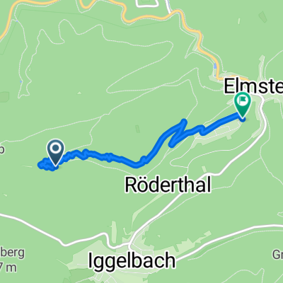
NFH Elmstein -JKreuz-Runde 38km 800hm- Distance
- 38.2 km
- Ascent
- 675 m
- Descent
- 674 m
- Location
- Elmstein, Rhineland-Palatinate, Germany
Forsthaustour oder über das Dach der Pfalz- Distance
- 45.8 km
- Ascent
- 668 m
- Descent
- 668 m
- Location
- Elmstein, Rhineland-Palatinate, Germany
helmbach weiher - geißwiese - helmbachweiher- Distance
- 13.9 km
- Ascent
- 392 m
- Descent
- 392 m
- Location
- Elmstein, Rhineland-Palatinate, Germany
route pfalz met joop en gert- Distance
- 105.1 km
- Ascent
- 1,635 m
- Descent
- 1,652 m
- Location
- Elmstein, Rhineland-Palatinate, Germany
Einsame Trails um den Helmbachweiher- Distance
- 33.2 km
- Ascent
- 1,229 m
- Descent
- 1,024 m
- Location
- Elmstein, Rhineland-Palatinate, Germany
Open it in the app


