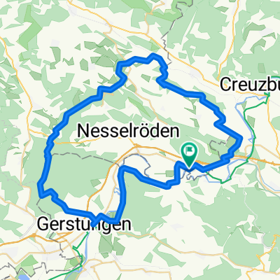
Dritter Tag auf dem Rennsteig 2013
A cycling route starting in Lauchröden, Thuringia, Germany.
Overview
About this route
Very hard and from Oberhof onwards rain. Great tour! This section made up for the previous two days. Triple smile, especially the piece down to Goldlauter. Brilliant!
- -:--
- Duration
- 79.8 km
- Distance
- 1,305 m
- Ascent
- 913 m
- Descent
- ---
- Avg. speed
- ---
- Max. altitude
Route quality
Waytypes & surfaces along the route
Waytypes
Track
60.7 km
(76 %)
Quiet road
4 km
(5 %)
Surfaces
Paved
9.6 km
(12 %)
Unpaved
61.5 km
(77 %)
Gravel
47.9 km
(60 %)
Asphalt
8.8 km
(11 %)
Continue with Bikemap
Use, edit, or download this cycling route
You would like to ride Dritter Tag auf dem Rennsteig 2013 or customize it for your own trip? Here is what you can do with this Bikemap route:
Free features
- Save this route as favorite or in collections
- Copy & plan your own version of this route
- Sync your route with Garmin or Wahoo
Premium features
Free trial for 3 days, or one-time payment. More about Bikemap Premium.
- Navigate this route on iOS & Android
- Export a GPX / KML file of this route
- Create your custom printout (try it for free)
- Download this route for offline navigation
Discover more Premium features.
Get Bikemap PremiumFrom our community
Other popular routes starting in Lauchröden
- 2. Etappe Badetag unter 100 km
- Distance
- 111.5 km
- Ascent
- 751 m
- Descent
- 815 m
- Location
- Lauchröden, Thuringia, Germany
- 2016-09-10: WTR - REN
- Distance
- 80.8 km
- Ascent
- 569 m
- Descent
- 560 m
- Location
- Lauchröden, Thuringia, Germany
- Große Runde
- Distance
- 38.3 km
- Ascent
- 261 m
- Descent
- 261 m
- Location
- Lauchröden, Thuringia, Germany
- joggen in unterellen
- Distance
- 12.9 km
- Ascent
- 214 m
- Descent
- 217 m
- Location
- Lauchröden, Thuringia, Germany
- Unterellen - Vachaer Stein
- Distance
- 21.3 km
- Ascent
- 265 m
- Descent
- 265 m
- Location
- Lauchröden, Thuringia, Germany
- auf Grenzerwegen um Herleshausen
- Distance
- 54.7 km
- Ascent
- 777 m
- Descent
- 777 m
- Location
- Lauchröden, Thuringia, Germany
- Am Rasenweg, Gerstungen nach Fritz-Koch-Straße 1, Eisenach
- Distance
- 16.2 km
- Ascent
- 85 m
- Descent
- 60 m
- Location
- Lauchröden, Thuringia, Germany
- Dritter Tag auf dem Rennsteig 2013
- Distance
- 79.8 km
- Ascent
- 1,305 m
- Descent
- 913 m
- Location
- Lauchröden, Thuringia, Germany
Open it in the app