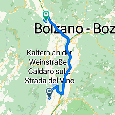
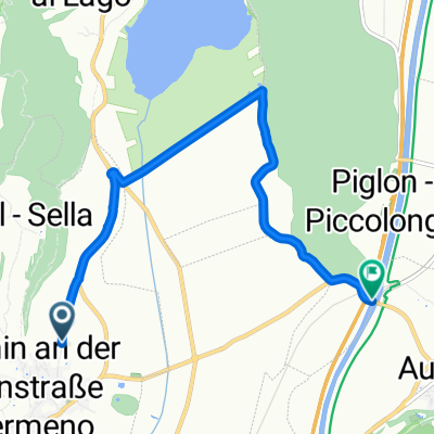
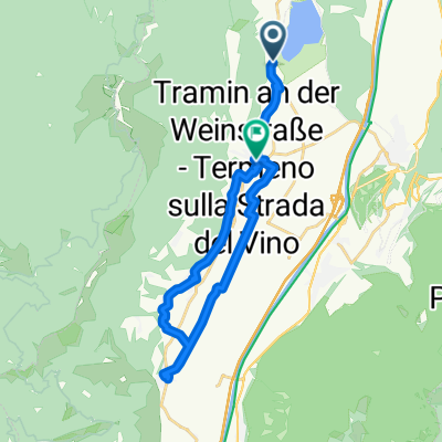
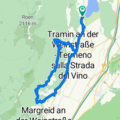
Rundtour Tramin, Mendelpass, Fondo, Gampenpass, Bozen
A cycling route starting in Termeno, Trentino-Alto Adige, Italy.
Overview
About this route
zunächst flach bis an das Nordufer des Kalterer Sees
bereits dort beginnt eigentlich der Anstieg zum Mendelpass (<span style="text-decoration: none"><font face="Arial, sans-serif"><font size="2"><span style="font-style: normal"><span style="font-weight: normal"><span style="text-decoration: none">1363m)</span></span></span></font></font></span>
die Bezwingung des Gampenpass' (1518m) ab Fondo ist dann mit harmlosen Steigungen (maximal 6%) keine große Sache mehr
die Abfahrt nach Lana ist allerdings Genuss pur
die letzten 40km sind flach, aber am Nachmittag hat man hier häufig (kräftigen) Gegenwind
- -:--
- Duration
- 107.9 km
- Distance
- 1,760 m
- Ascent
- 1,760 m
- Descent
- ---
- Avg. speed
- ---
- Avg. speed
Route quality
Waytypes & surfaces along the route
Waytypes
Busy road
51.7 km
(48 %)
Cycleway
18.4 km
(17 %)
Surfaces
Paved
100.4 km
(93 %)
Unpaved
0.6 km
(<1 %)
Asphalt
98.3 km
(91 %)
Paved (undefined)
2.2 km
(2 %)
Continue with Bikemap
Use, edit, or download this cycling route
You would like to ride Rundtour Tramin, Mendelpass, Fondo, Gampenpass, Bozen or customize it for your own trip? Here is what you can do with this Bikemap route:
Free features
- Save this route as favorite or in collections
- Copy & plan your own version of this route
- Split it into stages to create a multi-day tour
- Sync your route with Garmin or Wahoo
Premium features
Free trial for 3 days, or one-time payment. More about Bikemap Premium.
- Navigate this route on iOS & Android
- Export a GPX / KML file of this route
- Create your custom printout (try it for free)
- Download this route for offline navigation
Discover more Premium features.
Get Bikemap PremiumFrom our community
Other popular routes starting in Termeno
- RSCN - Tramin - Cles
- Distance
- 97.2 km
- Ascent
- 1,496 m
- Descent
- 1,496 m
- Location
- Termeno, Trentino-Alto Adige, Italy
- Tramin-Gampenpass-Mendelpass
- Distance
- 107.7 km
- Ascent
- 1,861 m
- Descent
- 1,861 m
- Location
- Termeno, Trentino-Alto Adige, Italy
- Lago Caldaro - Mendel - Gampen - Meran - Kaltern
- Distance
- 86.8 km
- Ascent
- 2,638 m
- Descent
- 2,495 m
- Location
- Termeno, Trentino-Alto Adige, Italy
- Traminer Hof - Zur Brücke
- Distance
- 14 km
- Ascent
- 19 m
- Descent
- 56 m
- Location
- Termeno, Trentino-Alto Adige, Italy
- Mendelrunde
- Distance
- 107.6 km
- Ascent
- 2,250 m
- Descent
- 2,279 m
- Location
- Termeno, Trentino-Alto Adige, Italy
- Kalterer Höhenweg
- Distance
- 41.7 km
- Ascent
- 935 m
- Descent
- 935 m
- Location
- Termeno, Trentino-Alto Adige, Italy
- neumarkt Riva del Garda
- Distance
- 92.2 km
- Ascent
- 1,299 m
- Descent
- 1,243 m
- Location
- Termeno, Trentino-Alto Adige, Italy
- Auffahrt zum Lenzenhof
- Distance
- 7.9 km
- Ascent
- 591 m
- Descent
- 76 m
- Location
- Termeno, Trentino-Alto Adige, Italy
Open it in the app