Pritzerbe-Finsterwalde
- 159.6 km
- 303 m
- 220 m
- Premnitz, Brandenburg, Germany
A cycling route starting in Premnitz, Brandenburg, Germany.
Overview
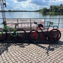
Day 2
Mögelin - Wagenitz Tour written with Nokia N8 and SportsTracker. created this 12 years ago
Route quality
Track
21.3 km
(27 %)
Quiet road
20.5 km
(26 %)
Paved
56 km
(71 %)
Unpaved
9.5 km
(12 %)
Asphalt
47.4 km
(60 %)
Concrete
8.7 km
(11 %)
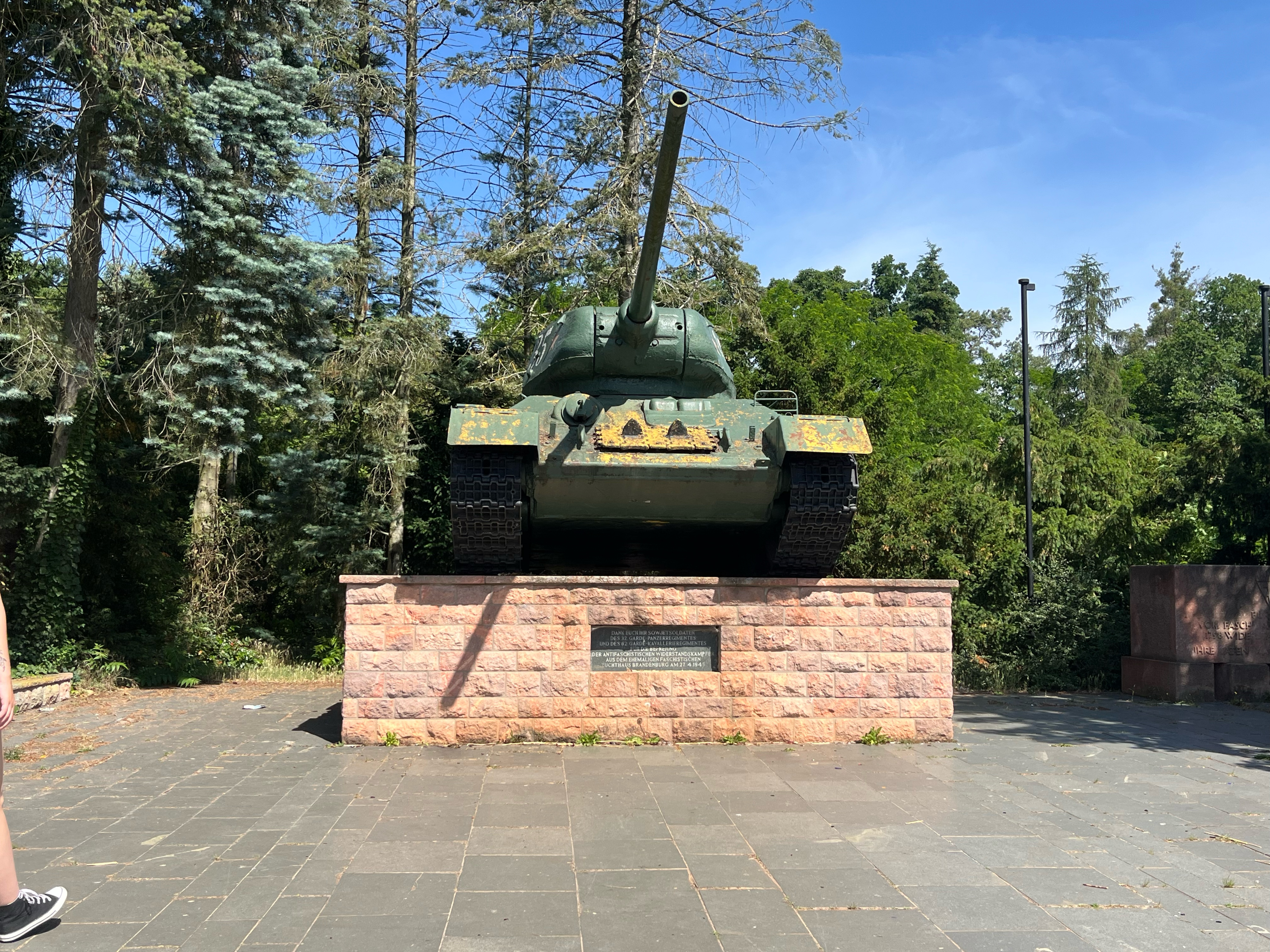
Route highlights
Historische Windmühle
Ott-Lilienthal-Denkmal
Continue with Bikemap
You would like to ride Havellandradtour 2.Tag (11.5.2013) or customize it for your own trip? Here is what you can do with this Bikemap route:
Free trial for 3 days, or one-time payment. More about Bikemap Premium.
Discover more Premium features.
Get Bikemap PremiumFrom our community
Open it in the app