2013 British National Time Trial Route - Stewarton
A cycling route starting in Stewarton, Scotland, United Kingdom.
Overview
About this route
2013 British National Time Trial Route - Stewarton (2 circuits)
- -:--
- Duration
- 24.1 km
- Distance
- 114 m
- Ascent
- 114 m
- Descent
- ---
- Avg. speed
- ---
- Avg. speed
Route quality
Waytypes & surfaces along the route
Waytypes
Busy road
19.9 km
(82 %)
Quiet road
3 km
(12 %)
Continue with Bikemap
Use, edit, or download this cycling route
You would like to ride 2013 British National Time Trial Route - Stewarton or customize it for your own trip? Here is what you can do with this Bikemap route:
Free features
- Save this route as favorite or in collections
- Copy & plan your own version of this route
- Sync your route with Garmin or Wahoo
Premium features
Free trial for 3 days, or one-time payment. More about Bikemap Premium.
- Navigate this route on iOS & Android
- Export a GPX / KML file of this route
- Create your custom printout (try it for free)
- Download this route for offline navigation
Discover more Premium features.
Get Bikemap PremiumFrom our community
Other popular routes starting in Stewarton
- LCFN to Prestwick
- Distance
- 27.9 km
- Ascent
- ---
- Descent
- ---
- Location
- Stewarton, Scotland, United Kingdom
- 2013 British National Time Trial Route - Stewarton
- Distance
- 24.1 km
- Ascent
- 114 m
- Descent
- 114 m
- Location
- Stewarton, Scotland, United Kingdom
- Jamieson Place 50, Stewarton to Seaforth Road 48, Stewarton
- Distance
- 7.4 km
- Ascent
- 369 m
- Descent
- 294 m
- Location
- Stewarton, Scotland, United Kingdom
- Kirkmuir Drive 69, Stewarton to Kirkmuir Drive 69, Stewarton
- Distance
- 8.7 km
- Ascent
- 6 m
- Descent
- 21 m
- Location
- Stewarton, Scotland, United Kingdom
- Kirkmuir Drive 73, Stewarton to Kirkmuir Drive 73, Stewarton
- Distance
- 8.7 km
- Ascent
- 91 m
- Descent
- 93 m
- Location
- Stewarton, Scotland, United Kingdom
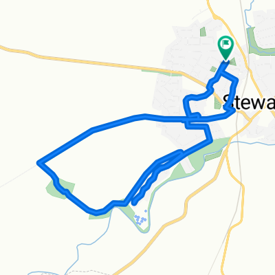
- Kirkmuir Drive 75, Stewarton to Kirkmuir Drive 73, Stewarton
- Distance
- 16.7 km
- Ascent
- 130 m
- Descent
- 132 m
- Location
- Stewarton, Scotland, United Kingdom
- Carruthers Close 26, Dunlop to West View Terrace 13, Dunlop
- Distance
- 9.9 km
- Ascent
- 87 m
- Descent
- 86 m
- Location
- Stewarton, Scotland, United Kingdom
- Stewarton-Dalry-Fairlie-Kelburn
- Distance
- 31.6 km
- Ascent
- 338 m
- Descent
- 418 m
- Location
- Stewarton, Scotland, United Kingdom
Open it in the app