Sur le Saleve
- 57.2 km
- 1,395 m
- 978 m
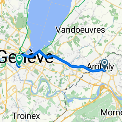
- Annemasse, Auvergne-Rhône-Alpes, France
A cycling route starting in Annemasse, Auvergne-Rhône-Alpes, France.
Overview
Variant 2, without Mt. Salève, Col de Leschaux instead of Crêt de Châtillon
Var. 2: D906A, D15, (Mornex, Le Sappey, Cruseilles) D1201 (Allonzier, Pringy, Annecy) Var. 2: D1508, D912 (Sévrier, Leschaux) D10, D912 (Glapigny, La Madeleine) D911 (La Madeleine, Les Granges, after Le Châtelard right towards Montlardier) D206 (La Lavanche, Aillon-Le-Jeune, Col de Prés, Thoiry) D912 (Chambery)created this 12 years ago
Route quality
Road
11.7 km
(11 %)
Quiet road
5.3 km
(5 %)
Paved
91.1 km
(86 %)
Unpaved
1.1 km
(1 %)
Asphalt
91.1 km
(86 %)
Gravel
1.1 km
(1 %)
Undefined
13.8 km
(13 %)
Continue with Bikemap
You would like to ride Annemasse-Chambéry Variante 2 or customize it for your own trip? Here is what you can do with this Bikemap route:
Free trial for 3 days, or one-time payment. More about Bikemap Premium.
Discover more Premium features.
Get Bikemap PremiumFrom our community
Open it in the app