

Millau - La Roque St.Marguerite - Le Rozier
A cycling route starting in Millau, Occitanie, France.
Overview
About this route
Loop ride from the Le Papillon campsite in La Cresse (on the Tarn near Millau)
Route along the Tarn, the Gorge de la Jonte, and over the Causses to the Tarn at Le Rozier.
From La Roque Ste. Marguerite, a 4 km steep climb; otherwise steep descent or fairly flat.
- -:--
- Duration
- 43.4 km
- Distance
- 541 m
- Ascent
- 536 m
- Descent
- ---
- Avg. speed
- ---
- Max. altitude
Route quality
Waytypes & surfaces along the route
Waytypes
Road
21.7 km
(50 %)
Quiet road
6.5 km
(15 %)
Surfaces
Paved
36 km
(83 %)
Asphalt
36 km
(83 %)
Undefined
7.4 km
(17 %)
Continue with Bikemap
Use, edit, or download this cycling route
You would like to ride Millau - La Roque St.Marguerite - Le Rozier or customize it for your own trip? Here is what you can do with this Bikemap route:
Free features
- Save this route as favorite or in collections
- Copy & plan your own version of this route
- Sync your route with Garmin or Wahoo
Premium features
Free trial for 3 days, or one-time payment. More about Bikemap Premium.
- Navigate this route on iOS & Android
- Export a GPX / KML file of this route
- Create your custom printout (try it for free)
- Download this route for offline navigation
Discover more Premium features.
Get Bikemap PremiumFrom our community
Other popular routes starting in Millau
 Untitled route
- Distance
- 200.1 km
- Ascent
- 4,305 m
- Descent
- 4,574 m
- Location
- Millau, Occitanie, France
 6. Mostuéjouls - Ispagnac
- Distance
- 56.7 km
- Ascent
- 1,263 m
- Descent
- 1,235 m
- Location
- Millau, Occitanie, France
 2016 Ride Day 165 - Millau to Rullac-Saint-Cirq
- Distance
- 94 km
- Ascent
- 984 m
- Descent
- 875 m
- Location
- Millau, Occitanie, France
 2016 Ride Day 162 - Boyne - Circle to Gorges du Tarn
- Distance
- 70.6 km
- Ascent
- 924 m
- Descent
- 924 m
- Location
- Millau, Occitanie, France
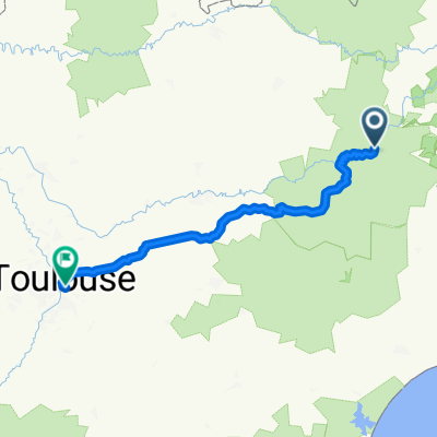 Millau - Toulouse
- Distance
- 194.6 km
- Ascent
- 1,131 m
- Descent
- 1,342 m
- Location
- Millau, Occitanie, France
 2016 Ride Day 163 - Boyne to Millau
- Distance
- 36.6 km
- Ascent
- 666 m
- Descent
- 614 m
- Location
- Millau, Occitanie, France
 5étape - 10 Semaine Cyclo Asptt Le Tarn 112km
- Distance
- 112.5 km
- Ascent
- 2,677 m
- Descent
- 2,643 m
- Location
- Millau, Occitanie, France
 4 Millau viaduct extension
- Distance
- 12.2 km
- Ascent
- 155 m
- Descent
- 158 m
- Location
- Millau, Occitanie, France
Open it in the app