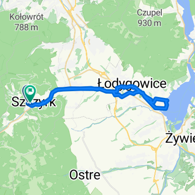
2013-05-31 Szczyrk #4
A cycling route starting in Szczyrk, Silesian Voivodeship, Poland.
Overview
About this route
1: Ze Skrzycznego czerwonym do Buczkowic
2: Ze Skrzycznego na Zielony Kopiec (zielonym szlakiem), dalej 偶ó艂tym do Wis艂y (epickie widoki) i asfaltem do Szczyrku.- -:--
- Duration
- 52 km
- Distance
- 1,977 m
- Ascent
- 1,971 m
- Descent
- ---
- Avg. speed
- ---
- Avg. speed
Route quality
Waytypes & surfaces along the route
Waytypes
Undefined
52 km
(100 %)
Surfaces
Undefined
52 km
(100 %)
Continue with Bikemap
Use, edit, or download this cycling route
You would like to ride 2013-05-31 Szczyrk #4 or customize it for your own trip? Here is what you can do with this Bikemap route:
Free features
- Save this route as favorite or in collections
- Copy & plan your own version of this route
- Sync your route with Garmin or Wahoo
Premium features
Free trial for 3 days, or one-time payment. More about Bikemap Premium.
- Navigate this route on iOS & Android
- Export a GPX / KML file of this route
- Create your custom printout (try it for free)
- Download this route for offline navigation
Discover more Premium features.
Get Bikemap PremiumFrom our community
Other popular routes starting in Szczyrk
- Szczyrk-BaraniaG-Sto偶ek-Czantoria-Ustro艅-Prze艂Salmopol-Szczyrk CLONED FROM ROUTE 449312
- Distance
- 93 km
- Ascent
- 2,463 m
- Descent
- 2,463 m
- Location
- Szczyrk, Silesian Voivodeship, Poland
- Skrzyczne-Barania G贸ra
- Distance
- 44.5 km
- Ascent
- 1,005 m
- Descent
- 1,467 m
- Location
- Szczyrk, Silesian Voivodeship, Poland
- Skrzyczne Lipowa Buczkowice Szczyrk
- Distance
- 30.1 km
- Ascent
- 302 m
- Descent
- 1,023 m
- Location
- Szczyrk, Silesian Voivodeship, Poland
- Kotarz,Salmopol, Skrzyczne
- Distance
- 26.2 km
- Ascent
- 983 m
- Descent
- 983 m
- Location
- Szczyrk, Silesian Voivodeship, Poland
- Skrzyczne p臋tla
- Distance
- 25.3 km
- Ascent
- 1,067 m
- Descent
- 1,067 m
- Location
- Szczyrk, Silesian Voivodeship, Poland
- 2018 呕ywiec dzie艅 2
- Distance
- 84.5 km
- Ascent
- 1,242 m
- Descent
- 1,243 m
- Location
- Szczyrk, Silesian Voivodeship, Poland
- Szczyrk Klimczok Wis艂a Brenna
- Distance
- 53.3 km
- Ascent
- 1,629 m
- Descent
- 1,627 m
- Location
- Szczyrk, Silesian Voivodeship, Poland
- Szczyrk-BaraniaG-Sto偶ek-Czantoria-Ustro艅-Prze艂Salmopol-Szczyrk
- Distance
- 93 km
- Ascent
- 2,463 m
- Descent
- 2,463 m
- Location
- Szczyrk, Silesian Voivodeship, Poland