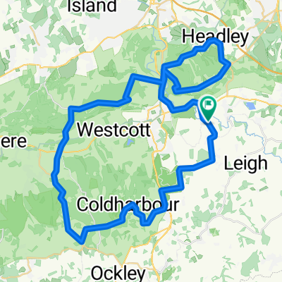
Ride London 100 Hills Training 2013
A cycling route starting in Dorking, England, United Kingdom.
Overview
About this route
Hills section of the 2013 Ride London 100
- -:--
- Duration
- 75.1 km
- Distance
- 622 m
- Ascent
- 622 m
- Descent
- ---
- Avg. speed
- ---
- Avg. speed
Route quality
Waytypes & surfaces along the route
Waytypes
Busy road
46.7 km
(62 %)
Road
12.6 km
(17 %)
Surfaces
Paved
53.6 km
(71 %)
Asphalt
53.6 km
(71 %)
Undefined
21.5 km
(29 %)
Continue with Bikemap
Use, edit, or download this cycling route
You would like to ride Ride London 100 Hills Training 2013 or customize it for your own trip? Here is what you can do with this Bikemap route:
Free features
- Save this route as favorite or in collections
- Copy & plan your own version of this route
- Sync your route with Garmin or Wahoo
Premium features
Free trial for 3 days, or one-time payment. More about Bikemap Premium.
- Navigate this route on iOS & Android
- Export a GPX / KML file of this route
- Create your custom printout (try it for free)
- Download this route for offline navigation
Discover more Premium features.
Get Bikemap PremiumFrom our community
Other popular routes starting in Dorking
- Brockham Leatherhead Bookham Loop
- Distance
- 48.5 km
- Ascent
- 214 m
- Descent
- 215 m
- Location
- Dorking, England, United Kingdom
- Meeting Point - Leith Hill - Home
- Distance
- 15.1 km
- Ascent
- 334 m
- Descent
- 356 m
- Location
- Dorking, England, United Kingdom
- North Downs ‘Your Average Sunday’ Route
- Distance
- 38.8 km
- Ascent
- 618 m
- Descent
- 618 m
- Location
- Dorking, England, United Kingdom
- Ride London 100 Hills Training 2013
- Distance
- 75.1 km
- Ascent
- 622 m
- Descent
- 622 m
- Location
- Dorking, England, United Kingdom
- Dorking_loop_72.5kms_1030deniv
- Distance
- 72.5 km
- Ascent
- 821 m
- Descent
- 821 m
- Location
- Dorking, England, United Kingdom
- Tour of Surrey Hills
- Distance
- 104.4 km
- Ascent
- 1,817 m
- Descent
- 1,812 m
- Location
- Dorking, England, United Kingdom
- Evans RideIt Dorking 02-12-2012
- Distance
- 81.5 km
- Ascent
- 667 m
- Descent
- 667 m
- Location
- Dorking, England, United Kingdom
- Surrye hills loop (Dorking)
- Distance
- 48.2 km
- Ascent
- 591 m
- Descent
- 593 m
- Location
- Dorking, England, United Kingdom