


schiltach bubble n brigachtal
- 38.7 km
- 677 m
- 499 m
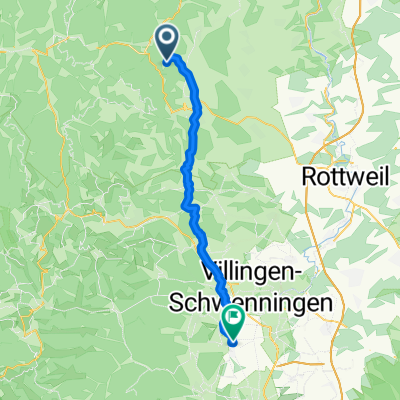
- Schenkenzell, Baden-Wurttemberg, Germany
A cycling route starting in Schenkenzell, Baden-Wurttemberg, Germany.
Overview
From Schenkenzell, we ascend via Kuhberg to Kniebis. Then we traverse the heights to Hark-Hof in Oberharmersbach. Here, one can regain strength with a hearty farmers' meal. Afterwards, we descend to Wolfach and from there return to Schenkenzell along the Kinzital cycle path.
created this 16 years ago
Continue with Bikemap
You would like to ride Schenkenzell-Hark Hof - die anstrengende or customize it for your own trip? Here is what you can do with this Bikemap route:
Free trial for 3 days, or one-time payment. More about Bikemap Premium.
Discover more Premium features.
Get Bikemap PremiumFrom our community
Open it in the app


