
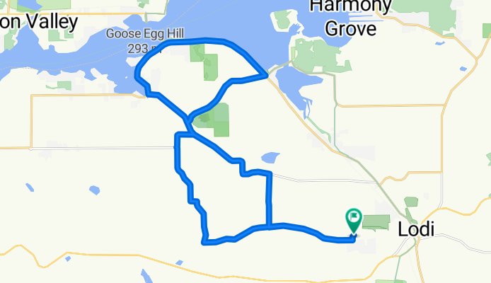
Lodi 19 miler WNBR
A cycling route starting in Lodi, Wisconsin, United States.
Overview
About this route
The "short Lodi ride, no ferry ride and some "tough" hills.
- -:--
- Duration
- 27.1 km
- Distance
- 380 m
- Ascent
- 381 m
- Descent
- ---
- Avg. speed
- 344 m
- Max. altitude
Route quality
Waytypes & surfaces along the route
Waytypes
Quiet road
12.2 km
(45 %)
Road
8.9 km
(33 %)
Surfaces
Paved
18.9 km
(70 %)
Asphalt
18.9 km
(70 %)
Undefined
8.1 km
(30 %)
Continue with Bikemap
Use, edit, or download this cycling route
You would like to ride Lodi 19 miler WNBR or customize it for your own trip? Here is what you can do with this Bikemap route:
Free features
- Save this route as favorite or in collections
- Copy & plan your own version of this route
- Sync your route with Garmin or Wahoo
Premium features
Free trial for 3 days, or one-time payment. More about Bikemap Premium.
- Navigate this route on iOS & Android
- Export a GPX / KML file of this route
- Create your custom printout (try it for free)
- Download this route for offline navigation
Discover more Premium features.
Get Bikemap PremiumFrom our community
Other popular routes starting in Lodi
 Subway
- Distance
- 3.4 km
- Ascent
- 12 m
- Descent
- 64 m
- Location
- Lodi, Wisconsin, United States
 One Mother of a Run 5k Route
- Distance
- 5 km
- Ascent
- 85 m
- Descent
- 86 m
- Location
- Lodi, Wisconsin, United States
 Lodi to Gibralter Rock
- Distance
- 33.2 km
- Ascent
- 290 m
- Descent
- 288 m
- Location
- Lodi, Wisconsin, United States
 LodiFall
- Distance
- 55.5 km
- Ascent
- 281 m
- Descent
- 280 m
- Location
- Lodi, Wisconsin, United States
 Farm Loop - East
- Distance
- 61.8 km
- Ascent
- 420 m
- Descent
- 418 m
- Location
- Lodi, Wisconsin, United States
 Lodi in May
- Distance
- 71.2 km
- Ascent
- 1,008 m
- Descent
- 1,007 m
- Location
- Lodi, Wisconsin, United States
 Lodi 19 miler WNBR
- Distance
- 27.1 km
- Ascent
- 380 m
- Descent
- 381 m
- Location
- Lodi, Wisconsin, United States
Open it in the app