Alpentocht 2015 dag 2 Definitief
- 97 km
- 2,122 m
- 1,224 m
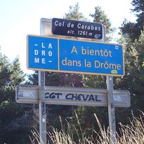
- Die, Auvergne-Rhône-Alpes, France
A cycling route starting in Die, Auvergne-Rhône-Alpes, France.
Overview
2013-06-02 Chatillon en Diois - Col de Menée - Monestier de Clermont
created this 12 years ago
Route quality
Quiet road
1.1 km
(2 %)
Undefined
51.9 km
(98 %)
Paved
33.4 km
(63 %)
Asphalt
33.4 km
(63 %)
Undefined
19.6 km
(37 %)
Continue with Bikemap
You would like to ride RF -- Retour du Diois or customize it for your own trip? Here is what you can do with this Bikemap route:
Free trial for 3 days, or one-time payment. More about Bikemap Premium.
Discover more Premium features.
Get Bikemap PremiumFrom our community
Open it in the app