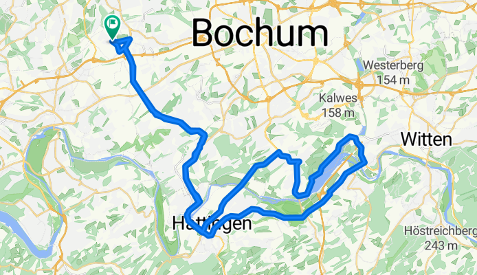
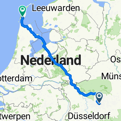
Rundweg Wattenscheid-Hattingen
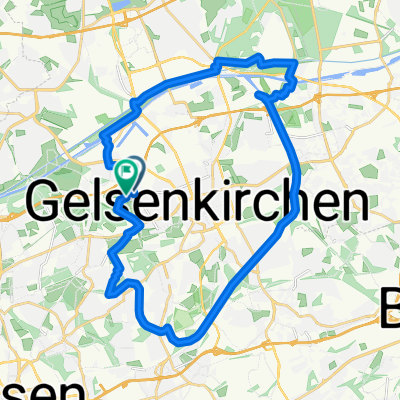
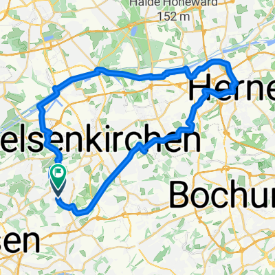
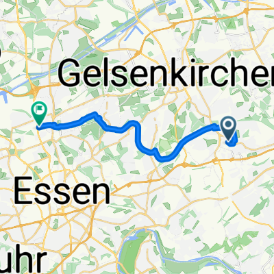
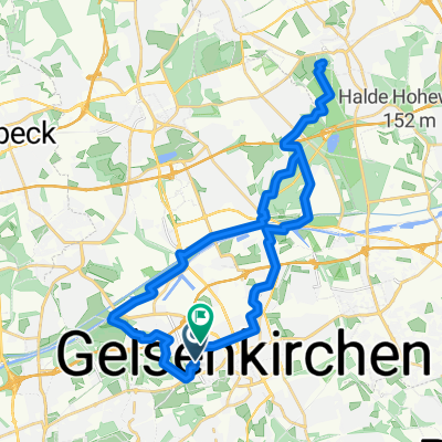
A cycling route starting in Gelsenkirchen, North Rhine-Westphalia, Germany.
Overview
About this route
- -:--
- Duration
- 50.7 km
- Distance
- 421 m
- Ascent
- 421 m
- Descent
- ---
- Avg. speed
- ---
- Avg. speed
Route quality
Waytypes & surfaces along the route
Waytypes
Undefined
50.7 km
(100 %)
Surfaces
Undefined
50.7 km
(100 %)
Continue with Bikemap
Use, edit, or download this cycling route
You would like to ride Rundweg Wattenscheid-Hattingen or customize it for your own trip? Here is what you can do with this Bikemap route:
Free features
- Save this route as favorite or in collections
- Copy & plan your own version of this route
- Sync your route with Garmin or Wahoo
Premium features
Free trial for 3 days, or one-time payment. More about Bikemap Premium.
- Navigate this route on iOS & Android
- Export a GPX / KML file of this route
- Create your custom printout (try it for free)
- Download this route for offline navigation
Discover more Premium features.
Get Bikemap PremiumFrom our community
Other popular routes starting in Gelsenkirchen
- Einmal Kettwig und zurück
- Distance
- 64.2 km
- Ascent
- 497 m
- Descent
- 505 m
- Location
- Gelsenkirchen, North Rhine-Westphalia, Germany
- Auch mal schön
- Distance
- 31.8 km
- Ascent
- 79 m
- Descent
- 70 m
- Location
- Gelsenkirchen, North Rhine-Westphalia, Germany
- Rundweg Wattenscheid-Hattingen
- Distance
- 50.7 km
- Ascent
- 421 m
- Descent
- 421 m
- Location
- Gelsenkirchen, North Rhine-Westphalia, Germany
- Rundkurs Rhein-Herne-Kanal - Haard
- Distance
- 112.5 km
- Ascent
- 324 m
- Descent
- 325 m
- Location
- Gelsenkirchen, North Rhine-Westphalia, Germany
- Rund Um Gelsenkirchen Mit Halden
- Distance
- 32.6 km
- Ascent
- 93 m
- Descent
- 93 m
- Location
- Gelsenkirchen, North Rhine-Westphalia, Germany
- Ruhrort
- Distance
- 84.4 km
- Ascent
- 135 m
- Descent
- 134 m
- Location
- Gelsenkirchen, North Rhine-Westphalia, Germany
- Hard Borkenberge
- Distance
- 77.2 km
- Ascent
- 293 m
- Descent
- 291 m
- Location
- Gelsenkirchen, North Rhine-Westphalia, Germany
- Erzbahntrasse - Kray-Wanner-Bahn - Zollverein - Nordsternpark - Cranger Kirmes -Quer durch Wanne mit Alex
- Distance
- 34.7 km
- Ascent
- 61 m
- Descent
- 59 m
- Location
- Gelsenkirchen, North Rhine-Westphalia, Germany