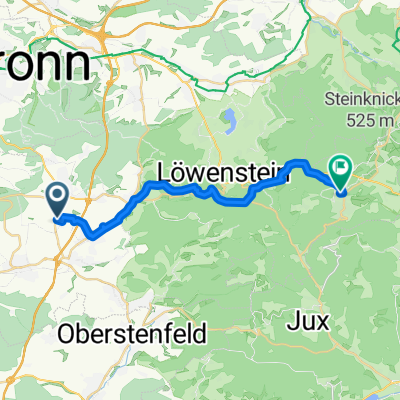
Ilsfeld nach Wüstenrot
- 19.4 km
- 480 m
- 222 m
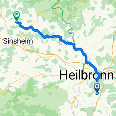
- Untergruppenbach, Baden-Wurttemberg, Germany
A cycling route starting in Untergruppenbach, Baden-Wurttemberg, Germany.
Overview
JS_UGB_5_1_Farnesberg-Stangenbach-Brettachtal
Variantecreated this 12 years ago
Route quality
Road
15.7 km
(26 %)
Quiet road
15.1 km
(25 %)
Paved
53.6 km
(89 %)
Asphalt
52.4 km
(87 %)
Paved (undefined)
1.2 km
(2 %)
Undefined
6.6 km
(11 %)
Continue with Bikemap
You would like to ride JS_UGB_5_1_Farnesberg-Stangenbach-Brettachtal_Variante or customize it for your own trip? Here is what you can do with this Bikemap route:
Free trial for 3 days, or one-time payment. More about Bikemap Premium.
Discover more Premium features.
Get Bikemap PremiumFrom our community
Open it in the app