TAG 2 Gruisla-Lasko 18.6
- 121.5 km
- 376 m
- 491 m
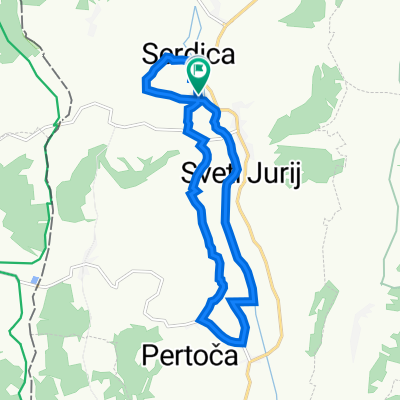
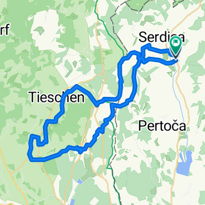
- Rogašovci, Občina Rogašovci, Slovenia
A cycling route starting in Rogašovci, Občina Rogašovci, Slovenia.
Overview
TAG 2 Gruisla-Lasko
created this 12 years ago
Route quality
Road
38.3 km
31 %
Quiet road
12.3 km
10 %
Paved
64.2 km
(52 %)
Unpaved
1.2 km
(1 %)
Asphalt
64.2 km
52 %
Gravel
1.2 km
1 %
Undefined
58 km
47 %
Route highlights
1. Treffpunkt Grenzübergang Slowenien (Foto)
2. Treffpunkt Einfahrt Ptui, eventuell Lotsung
3. Treffpunkt in Pecke
4. Treffpunkt Einfahrt Celje eventuell Lotsung
Continue with Bikemap
You would like to ride TAG 2 Gruisla-Lasko or customize it for your own trip? Here is what you can do with this Bikemap route:
Free trial for 3 days, or one-time payment. More about Bikemap Premium.
Discover more Premium features.
Get Bikemap PremiumFrom our community
Open it in the app