

Standardrunde
A cycling route starting in Korntal, Baden-Wurttemberg, Germany.
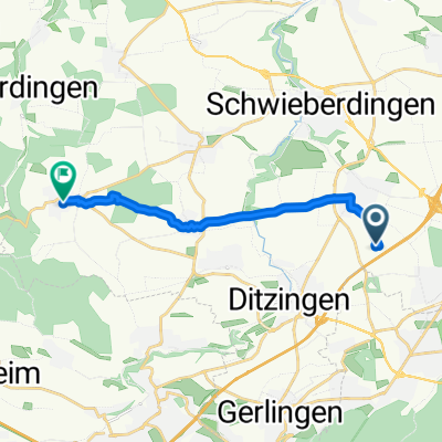
Overview
About this route
nice local route, good roads/trails, 3 notable climbs: Before Nußsdorf, before Weissach and the Krummbachtal. A good shortcut would be to go from Riet to Weissach via Eberdingen.
- -:--
- Duration
- 61.6 km
- Distance
- 818 m
- Ascent
- 739 m
- Descent
- ---
- Avg. speed
- 478 m
- Max. altitude

Route quality
Waytypes & surfaces along the route
Waytypes
Road
18.5 km
(30 %)
Track
9.9 km
(16 %)
Surfaces
Paved
55.4 km
(90 %)
Unpaved
5.5 km
(9 %)
Asphalt
54.8 km
(89 %)
Loose gravel
2.5 km
(4 %)
Continue with Bikemap
Use, edit, or download this cycling route
You would like to ride Standardrunde or customize it for your own trip? Here is what you can do with this Bikemap route:
Free features
- Save this route as favorite or in collections
- Copy & plan your own version of this route
- Sync your route with Garmin or Wahoo
Premium features
Free trial for 3 days, or one-time payment. More about Bikemap Premium.
- Navigate this route on iOS & Android
- Export a GPX / KML file of this route
- Create your custom printout (try it for free)
- Download this route for offline navigation
Discover more Premium features.
Get Bikemap PremiumFrom our community
Other popular routes starting in Korntal
 Weilimdorf - Ludwigsburg
- Distance
- 31.8 km
- Ascent
- 246 m
- Descent
- 246 m
- Location
- Korntal, Baden-Wurttemberg, Germany
 Korntal-Münchingen--Heimerdingen
- Distance
- 10.5 km
- Ascent
- 174 m
- Descent
- 99 m
- Location
- Korntal, Baden-Wurttemberg, Germany
 Glemstour
- Distance
- 31.9 km
- Ascent
- 334 m
- Descent
- 334 m
- Location
- Korntal, Baden-Wurttemberg, Germany
 Haus nach Hemmingen
- Distance
- 56.9 km
- Ascent
- 643 m
- Descent
- 645 m
- Location
- Korntal, Baden-Wurttemberg, Germany
 Pedelectour
- Distance
- 22.5 km
- Ascent
- 280 m
- Descent
- 281 m
- Location
- Korntal, Baden-Wurttemberg, Germany
 Neuhaldenstraße, Korntal-Münchingen nach Mahdentalstraße, Stuttgart
- Distance
- 10.5 km
- Ascent
- 228 m
- Descent
- 117 m
- Location
- Korntal, Baden-Wurttemberg, Germany
 Kleine Standardrunde
- Distance
- 20.8 km
- Ascent
- 141 m
- Descent
- 141 m
- Location
- Korntal, Baden-Wurttemberg, Germany
 Korntal-Birkenkopf-Schillerhöhe-Glems
- Distance
- 34.1 km
- Ascent
- 381 m
- Descent
- 381 m
- Location
- Korntal, Baden-Wurttemberg, Germany
Open it in the app