KDŠ_23_2018
- 60.1 km
- 701 m
- 701 m
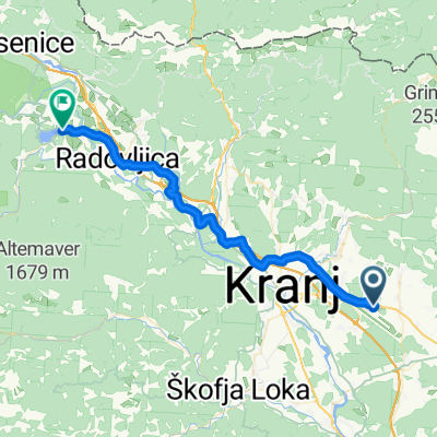
- Šenčur, Občina Šenčur, Slovenia
A cycling route starting in Šenčur, Občina Šenčur, Slovenia.
Overview
created this 16 years ago
Route quality
Quiet road
10.5 km
(41 %)
Road
7.9 km
(31 %)
Paved
16.6 km
(65 %)
Unpaved
2 km
(8 %)
Asphalt
16.6 km
(65 %)
Gravel
1.8 km
(7 %)
Route highlights
Start/cilj
Continue with Bikemap
You would like to ride Kolesarjenje po občini šenčur or customize it for your own trip? Here is what you can do with this Bikemap route:
Free trial for 3 days, or one-time payment. More about Bikemap Premium.
Discover more Premium features.
Get Bikemap PremiumFrom our community
Open it in the app