Münstermaifeld über Polch+Mertloch
- 44.4 km
- 424 m
- 424 m
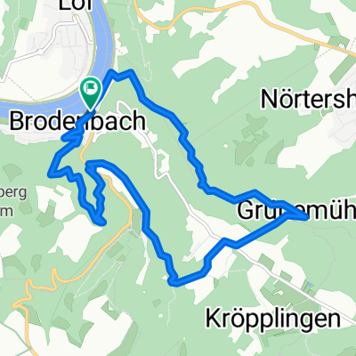
- Brodenbach, Rhineland-Palatinate, Germany
From Löf to Trier along the Moselle
Road
13.8 km9 %Path
7.7 km5 %Paved
144.5 km(94 %)Unpaved
1.5 km(1 %)Asphalt
143 km93 %Paved (undefined)
1.5 km1 %Free trial for 3 days, or one-time payment. More about Bikemap Premium.
Discover more Premium features.
Get Bikemap PremiumOpen it in the app