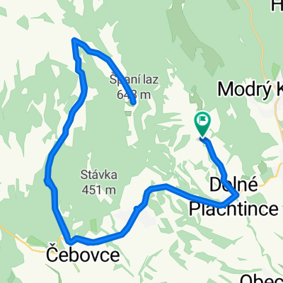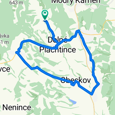
Str. Plachtince - Kosihovce - Trebušovce - Lesenice - Ďarmoty - Str. Plachtince
- 49.4 km
- 307 m
- 309 m
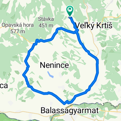
- Veľký Krtíš, Banská Bystrica Region, Slovakia
A cycling route starting in Veľký Krtíš, Banská Bystrica Region, Slovakia.
Overview
A moderately difficult route through beautiful nature, with the possibility of visiting the memorial for the fallen partisans during World War II.
created this 12 years ago
Route quality
Road
31.3 km
(81 %)
Quiet road
1.5 km
(4 %)
Paved
6.2 km
(16 %)
Asphalt
6.2 km
(16 %)
Undefined
32.5 km
(84 %)
Continue with Bikemap
You would like to ride Veľký Krtíš - Veľký Lom a naspäť or customize it for your own trip? Here is what you can do with this Bikemap route:
Free trial for 3 days, or one-time payment. More about Bikemap Premium.
Discover more Premium features.
Get Bikemap PremiumFrom our community
Open it in the app