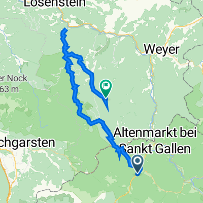
Geigenkogel nach Geigenkogel
- 34 km
- 1,869 m
- 1,868 m
- Sankt Gallen, Styria, Austria
A cycling route starting in Sankt Gallen, Styria, Austria.
Overview
Trasa nebyla zas tak náročná, ale co se týče výhledů do okolí, byly nádherné. Bohužel vždy po prudkém klesání následovalo stoupání. Během trasy jsem se chtěla vždy zastavit a pokochat se výhledem do krajiny. Trasa vede bohužel taky po hlavní silnici, ale rakouští řidiči jsou více ohleduplnější k cyklistům. Po cestě je možnost nasednout na vlak a dojet trasu vlakem. Je možné si testu prodloužit do Admontu, kde je benediktinský klášter. Moooc se mi tato trasa líbila.
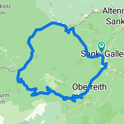
Route quality
Quiet road
4 km
(7 %)
Road
3.4 km
(6 %)
Paved
35 km
(62 %)
Asphalt
35 km
(62 %)
Undefined
21.5 km
(38 %)
Continue with Bikemap
You would like to ride Kolem národního parku or customize it for your own trip? Here is what you can do with this Bikemap route:
Free trial for 3 days, or one-time payment. More about Bikemap Premium.
Discover more Premium features.
Get Bikemap PremiumFrom our community
Open it in the app