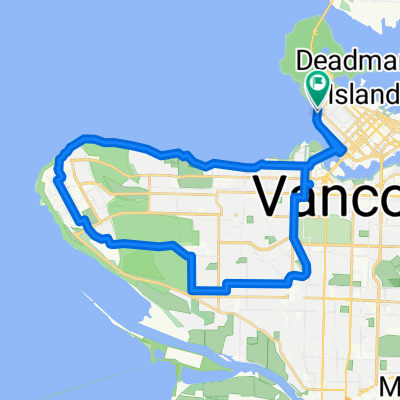
WB W Georgia St @ Denman St to Bayshore Drive
- 8.6 km
- 201 m
- 154 m
- West End, British Columbia, Canada
A cycling route starting in West End, British Columbia, Canada.
Overview
From Vancouver, BC to Portland, OR in 23 days.
Route highlights
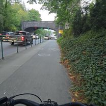
Our community bikes, where I bought a used bike for this trip.
N1 Birch Bay State Park
N2 Sedro-Woolley
N3 Lake Roesiger
N4 Fall City
N5 Keechelus Lake
N6 Thorp
N7 Yakima Sportsman State Park
N8 Satus creek
N9 Columbia River
N10 Tollbridge Park
N11 Clear Lake
N12 Detroit
N13 Sisters State Park
N14 La Pine
N15 Crater Lake
N16 Lightning Spring
N17 Umpqua River
N18 Tyee campground
N19 Jessie M. Honeyman Memorial State Park
N20 Devils Lake State Park, Lincoln City
N21 Cape Lookout State Park
N21 Nestucca River
Continue with Bikemap
You would like to ride USA 2010 or customize it for your own trip? Here is what you can do with this Bikemap route:
Free trial for 3 days, or one-time payment. More about Bikemap Premium.
Discover more Premium features.
Get Bikemap PremiumFrom our community
Open it in the app