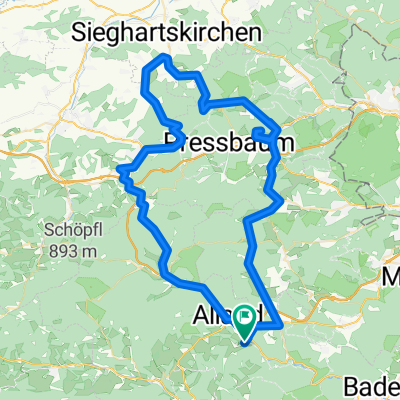
Sieghartskirchen - Runde
- 82.2 km
- 905 m
- 905 m
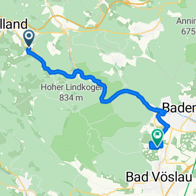
- Alland, Lower Austria, Austria
A cycling route starting in Alland, Lower Austria, Austria.
Overview
Description follows
created this 12 years ago
Route quality
Road
24.7 km
(30 %)
Quiet road
2.5 km
(3 %)
Paved
59.2 km
(72 %)
Unpaved
0.8 km
(1 %)
Asphalt
58.3 km
(71 %)
Paved (undefined)
0.8 km
(1 %)
Continue with Bikemap
You would like to ride Sieghartskirchen - Runde or customize it for your own trip? Here is what you can do with this Bikemap route:
Free trial for 3 days, or one-time payment. More about Bikemap Premium.
Discover more Premium features.
Get Bikemap PremiumFrom our community
Open it in the app