

Szczawnica -> Rzechyba -> Radziejowa -> Obidza -> Szlak Graniczny -> Szczawnica
A cycling route starting in Szczawnica, Lesser Poland Voivodeship, Poland.
Overview
About this route
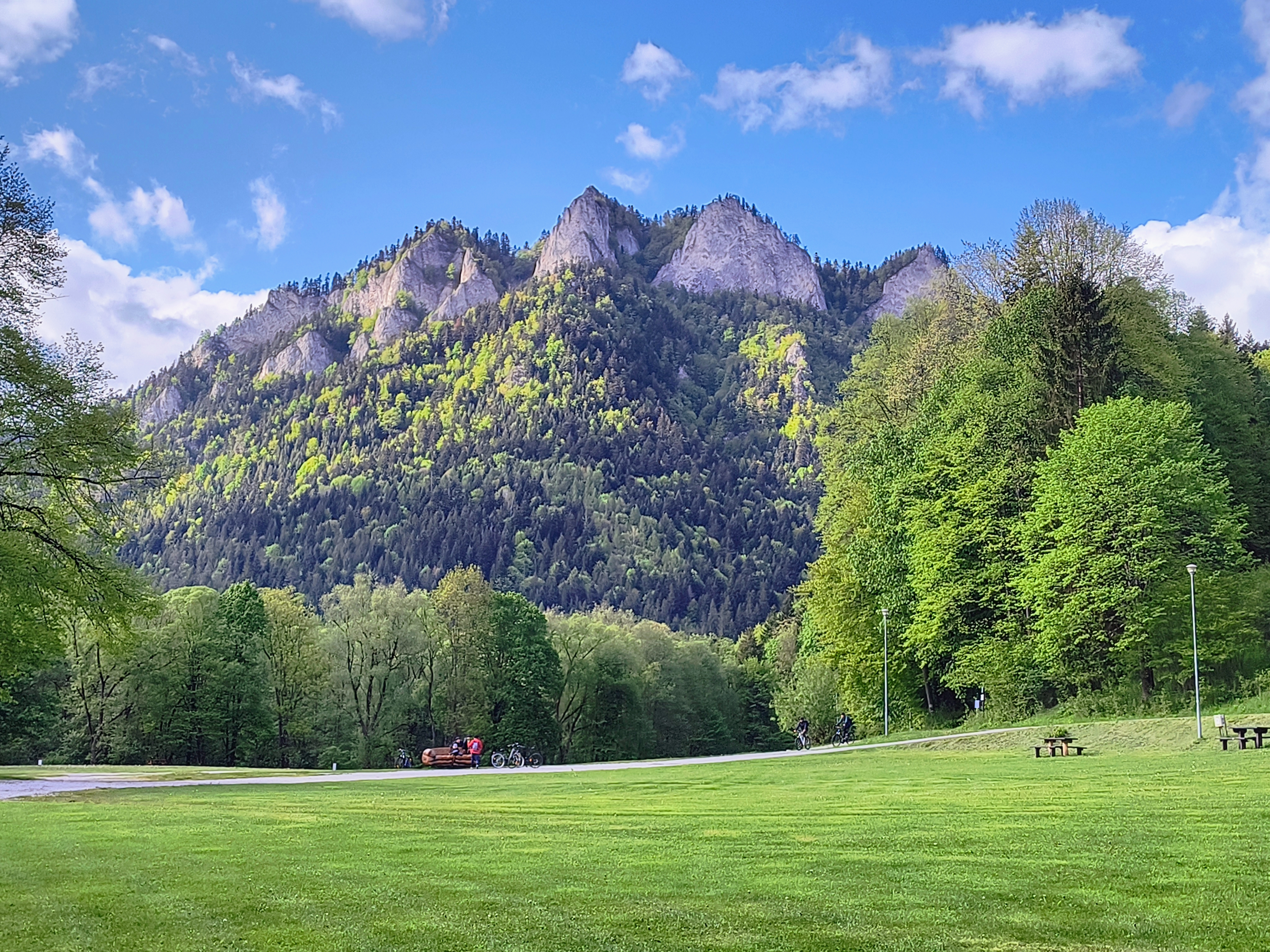
Start in Szczawnica near the Town Hall. Then follow the blue trail to Przechyba. Next, head to Rzedziejowa, passing through Wielki Rogacz and enjoy an excellent descent to Obidza. Afterwards, keep following the border trail and descend from Palenica.
- -:--
- Duration
- 36.9 km
- Distance
- 1,238 m
- Ascent
- 1,237 m
- Descent
- ---
- Avg. speed
- ---
- Max. altitude
Route highlights
Points of interest along the route
Point of interest after 8.4 km
Baza GOPR - Przechyba
Point of interest after 13.5 km
Wieża Widokowa na Radziejowej
Point of interest after 17.9 km
"Bacówka" na Obidzy
Point of interest after 35.3 km
Stok narciarski
Continue with Bikemap
Use, edit, or download this cycling route
You would like to ride Szczawnica -> Rzechyba -> Radziejowa -> Obidza -> Szlak Graniczny -> Szczawnica or customize it for your own trip? Here is what you can do with this Bikemap route:
Free features
- Save this route as favorite or in collections
- Copy & plan your own version of this route
- Sync your route with Garmin or Wahoo
Premium features
Free trial for 3 days, or one-time payment. More about Bikemap Premium.
- Navigate this route on iOS & Android
- Export a GPX / KML file of this route
- Create your custom printout (try it for free)
- Download this route for offline navigation
Discover more Premium features.
Get Bikemap PremiumFrom our community
Other popular routes starting in Szczawnica
 Szczawnica_Majówka_Turystycznie
- Distance
- 51 km
- Ascent
- 437 m
- Descent
- 447 m
- Location
- Szczawnica, Lesser Poland Voivodeship, Poland
 Jaworki; Biała Woda + Czarna Woda
- Distance
- 19.4 km
- Ascent
- 378 m
- Descent
- 378 m
- Location
- Szczawnica, Lesser Poland Voivodeship, Poland
 przełom Dunajca
- Distance
- 16 km
- Ascent
- 1,008 m
- Descent
- 963 m
- Location
- Szczawnica, Lesser Poland Voivodeship, Poland
 Dunajec i jeden podjazd
- Distance
- 47.6 km
- Ascent
- 1,878 m
- Descent
- 1,882 m
- Location
- Szczawnica, Lesser Poland Voivodeship, Poland
 Małe Pieniny - Polskie i Słowackie
- Distance
- 28.2 km
- Ascent
- 844 m
- Descent
- 844 m
- Location
- Szczawnica, Lesser Poland Voivodeship, Poland
 Szczawnica
- Distance
- 32.1 km
- Ascent
- 792 m
- Descent
- 792 m
- Location
- Szczawnica, Lesser Poland Voivodeship, Poland
 Szczawnica
- Distance
- 41.6 km
- Ascent
- 878 m
- Descent
- 877 m
- Location
- Szczawnica, Lesser Poland Voivodeship, Poland
 Velo Dunajec, Szczawnica - Sromowce Niżne
- Distance
- 13 km
- Ascent
- 558 m
- Descent
- 541 m
- Location
- Szczawnica, Lesser Poland Voivodeship, Poland
Open it in the app