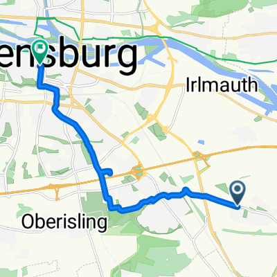
Regenpanoramatour
- 92.6 km
- 714 m
- 711 m
- Obertraubling, Bavaria, Germany
A cycling route starting in Obertraubling, Bavaria, Germany.
Overview
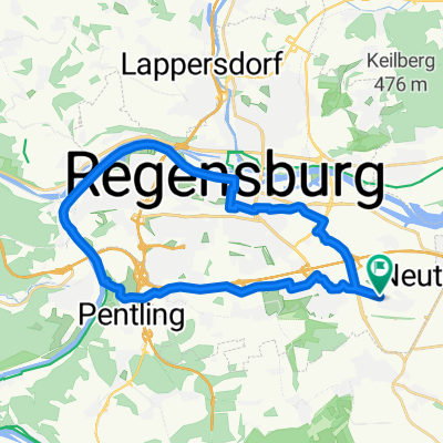
Towards the Danube, by the Danube, in the Kelheim forest and from Deuerling through the Laber valley to Sinzing; back over the railway bridge in Sinzing and over the Pentlinger Berg/Monte exPapa back
created this 12 years ago
Route quality
Road
30.9 km
(36 %)
Quiet road
21.5 km
(25 %)
Paved
70.5 km
(82 %)
Unpaved
6 km
(7 %)
Asphalt
69.6 km
(81 %)
Gravel
5.2 km
(6 %)
Continue with Bikemap
You would like to ride Donau - Kehlheimer Forst - Labertal or customize it for your own trip? Here is what you can do with this Bikemap route:
Free trial for 3 days, or one-time payment. More about Bikemap Premium.
Discover more Premium features.
Get Bikemap PremiumFrom our community
Open it in the app