

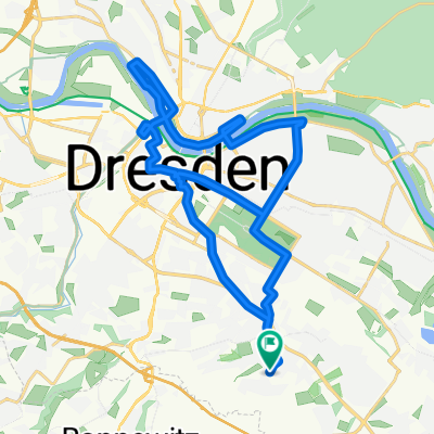
Dresden Coschütz-Possendorf-Kreischa-Reingrimma-Liebstein-Pirna-Pillnitz-Loschwitz-Dresden Bühlau ,
A cycling route starting in Bannewitz, Saxony, Germany.
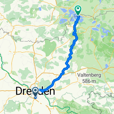
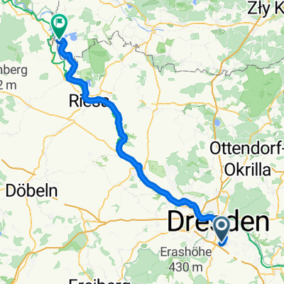
Overview
About this route
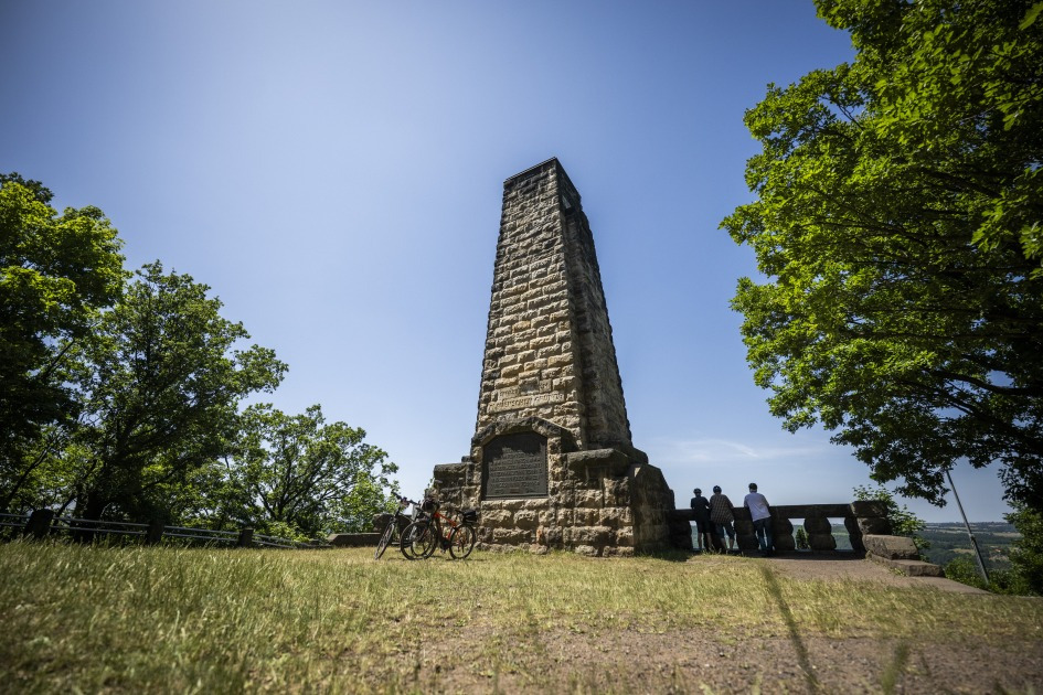
Some winter damage and a 12% uphill gradient between Oberschlottwitz and Berthelsdorf my load with very short breaks of 2 or 3 times!
- -:--
- Duration
- 71 km
- Distance
- 687 m
- Ascent
- 654 m
- Descent
- ---
- Avg. speed
- ---
- Max. altitude

Route quality
Waytypes & surfaces along the route
Waytypes
Road
18.5 km
(26 %)
Quiet road
5.7 km
(8 %)
Surfaces
Paved
57.5 km
(81 %)
Asphalt
56.1 km
(79 %)
Concrete
1.4 km
(2 %)
Undefined
13.5 km
(19 %)
Continue with Bikemap
Use, edit, or download this cycling route
You would like to ride Dresden Coschütz-Possendorf-Kreischa-Reingrimma-Liebstein-Pirna-Pillnitz-Loschwitz-Dresden Bühlau , or customize it for your own trip? Here is what you can do with this Bikemap route:
Free features
- Save this route as favorite or in collections
- Copy & plan your own version of this route
- Sync your route with Garmin or Wahoo
Premium features
Free trial for 3 days, or one-time payment. More about Bikemap Premium.
- Navigate this route on iOS & Android
- Export a GPX / KML file of this route
- Create your custom printout (try it for free)
- Download this route for offline navigation
Discover more Premium features.
Get Bikemap PremiumFrom our community
Other popular routes starting in Bannewitz
 Radtour Elberadweg
- Distance
- 30.6 km
- Ascent
- 26 m
- Descent
- 32 m
- Location
- Bannewitz, Saxony, Germany
 kleine Sonntagsrunde
- Distance
- 23 km
- Ascent
- 337 m
- Descent
- 245 m
- Location
- Bannewitz, Saxony, Germany
 Bannewitz - Klingenberg - Malter - Bannewitz
- Distance
- 67.7 km
- Ascent
- 779 m
- Descent
- 727 m
- Location
- Bannewitz, Saxony, Germany
 2025 Tag 01 Von Dresden bis Elsterheide
- Distance
- 91.5 km
- Ascent
- 714 m
- Descent
- 762 m
- Location
- Bannewitz, Saxony, Germany
 Die Autobahntour: 34 km Hügel im Dresdner Süden
- Distance
- 33.9 km
- Ascent
- 549 m
- Descent
- 548 m
- Location
- Bannewitz, Saxony, Germany
 RundumTour Bannewitz 2025
- Distance
- 31.6 km
- Ascent
- 447 m
- Descent
- 446 m
- Location
- Bannewitz, Saxony, Germany
 Tag 1 nach Campingplatz - Wasserwanderraststation
- Distance
- 81.2 km
- Ascent
- 307 m
- Descent
- 383 m
- Location
- Bannewitz, Saxony, Germany
 Vonovia-Tour
- Distance
- 28.8 km
- Ascent
- 121 m
- Descent
- 121 m
- Location
- Bannewitz, Saxony, Germany
Open it in the app