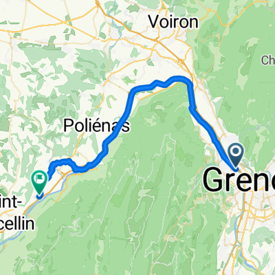
les chemins de traverse
- 6.7 km
- 34 m
- 40 m
- Fontaine, Auvergne-Rhône-Alpes, France
A cycling route starting in Fontaine, Auvergne-Rhône-Alpes, France.
Overview
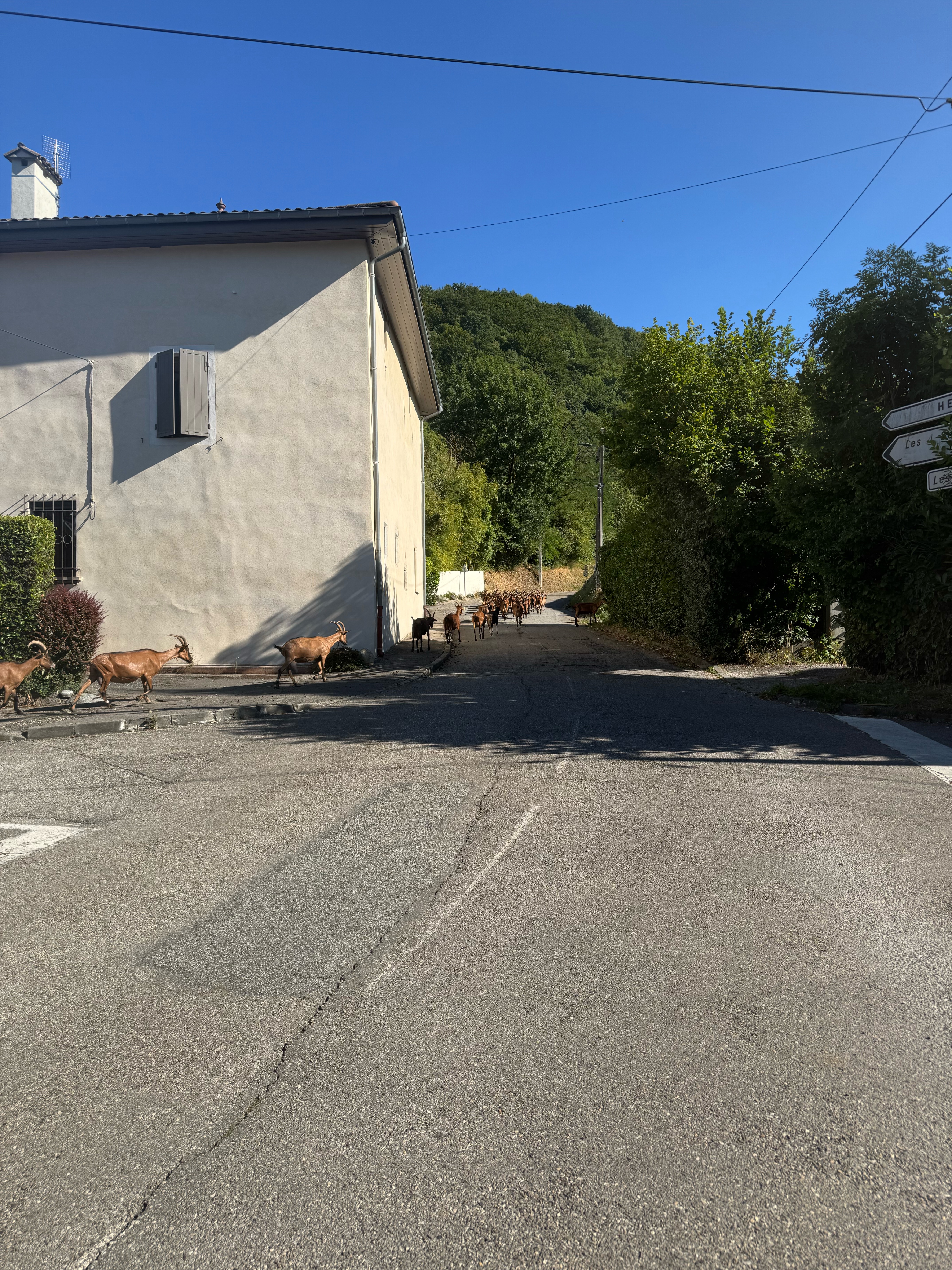
Saint Siméon de Bressieux Fountain
created this 12 years ago
Route quality
Road
24.3 km
45 %
Cycleway
19.4 km
36 %
Paved
41 km
(76 %)
Asphalt
41 km
76 %
Undefined
12.9 km
24 %
Route highlights
Continue with Bikemap
You would like to ride Fontaine Saint Siméon de Bréssieux or customize it for your own trip? Here is what you can do with this Bikemap route:
Free trial for 3 days, or one-time payment. More about Bikemap Premium.
Discover more Premium features.
Get Bikemap PremiumFrom our community
Open it in the app