SanMichael
- 21.6 km
- 27 m
- 24 m
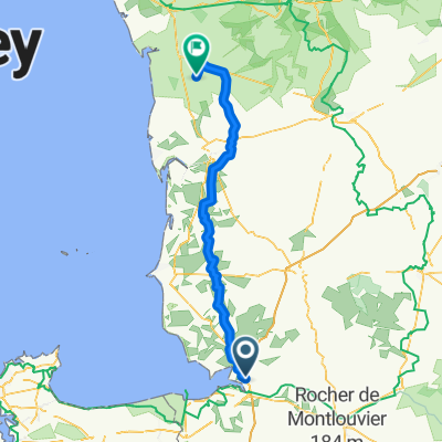
- Le Val-Saint-Père, Normandy, France
A cycling route starting in Le Val-Saint-Père, Normandy, France.
Overview
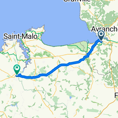
<div> Celkový souhrn etap :</div> <div> </div> <div> 1.etapa : Saint Michel - Saint Malo</div> <div> </div> <div> 2.etapa : Saint Malo - Saint Alban</div> <div> </div> <div> 3.etapa : Saint Alban - Paimpol</div> <div> </div> <div> 4.etapa : Paimpol - Ile Grande</div> <div> </div> <div> 5.etapa : Ile Grande - Kergaradec</div> <div> </div> <div> 6. etapa : Kergaradec - Brasparts</div> <div> </div> <div> 7.etapa : Brasparts - Pors Meur</div> <div> </div> <div> 8.etapa : Pors Meur - Kerhamon</div> <div> </div> <div> Výše uvedené etapy jsou jednotlivě v mém profilu.</div> <div> </div> <div> Celková délka 702,78 km / celkové nastoupání 8486 m / celkový čas 39:06:50 hod</div>
created this 12 years ago
Route quality
Quiet road
307.3 km
(44 %)
Road
139.7 km
(20 %)
Paved
321.3 km
(46 %)
Unpaved
34.9 km
(5 %)
Asphalt
314.3 km
(45 %)
Gravel
14 km
(2 %)
Continue with Bikemap
You would like to ride Tour de Brittany 2013 (8 Stages) or customize it for your own trip? Here is what you can do with this Bikemap route:
Free trial for 3 days, or one-time payment. More about Bikemap Premium.
Discover more Premium features.
Get Bikemap PremiumFrom our community
Open it in the app