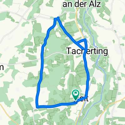
Reit - Altenmarkt - Obing - Peterskirchen - Reit
- 42.6 km
- 209 m
- 209 m
- Tacherting, Bavaria, Germany
A cycling route starting in Tacherting, Bavaria, Germany.
Overview
Reit - Altenmarkt - Obing - Peterskirchen - Reit
Route quality
Road
10.6 km
(25 %)
Quiet road
8.1 km
(19 %)
Paved
39.1 km
(92 %)
Unpaved
0.4 km
(1 %)
Asphalt
39.1 km
(92 %)
Ground
0.4 km
(1 %)
Undefined
3 km
(7 %)
Continue with Bikemap
You would like to ride Reit - Altenmarkt - Obing - Peterskirchen - Reit or customize it for your own trip? Here is what you can do with this Bikemap route:
Free trial for 3 days, or one-time payment. More about Bikemap Premium.
Discover more Premium features.
Get Bikemap PremiumFrom our community
Open it in the app