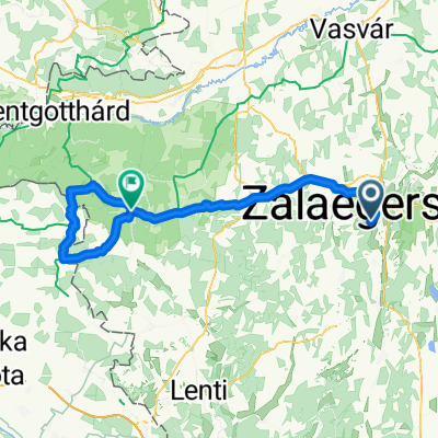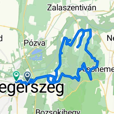
rét utca - rét utca
- 130.3 km
- 604 m
- 656 m
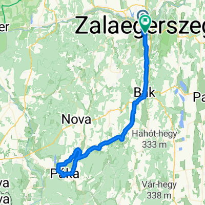
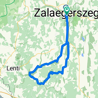
- Zalaegerszeg, Zala County, Hungary
A cycling route starting in Zalaegerszeg, Zala County, Hungary.
Overview
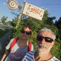
:)
created this 12 years ago
Route quality
Quiet road
75.8 km
(26 %)
Cycleway
67 km
(23 %)
Paved
236.1 km
(81 %)
Unpaved
11.7 km
(4 %)
Asphalt
230.3 km
(79 %)
Concrete
5.8 km
(2 %)
Continue with Bikemap
You would like to ride Otthonról haza II. - A nagy Balaton-kör or customize it for your own trip? Here is what you can do with this Bikemap route:
Free trial for 3 days, or one-time payment. More about Bikemap Premium.
Discover more Premium features.
Get Bikemap PremiumFrom our community
Open it in the app