

Col de la Colombiere
A cycling route starting in Thyez, Auvergne-Rhône-Alpes, France.
Overview
About this route
The big one!
- -:--
- Duration
- 62.5 km
- Distance
- 1,232 m
- Ascent
- 1,232 m
- Descent
- ---
- Avg. speed
- ---
- Max. altitude

Route quality
Waytypes & surfaces along the route
Waytypes
Busy road
51.5 km
(82 %)
Road
9 km
(14 %)
Surfaces
Paved
39.8 km
(64 %)
Asphalt
39.7 km
(64 %)
Paved (undefined)
0 km
(<1 %)
Undefined
22.7 km
(36 %)
Continue with Bikemap
Use, edit, or download this cycling route
You would like to ride Col de la Colombiere or customize it for your own trip? Here is what you can do with this Bikemap route:
Free features
- Save this route as favorite or in collections
- Copy & plan your own version of this route
- Sync your route with Garmin or Wahoo
Premium features
Free trial for 3 days, or one-time payment. More about Bikemap Premium.
- Navigate this route on iOS & Android
- Export a GPX / KML file of this route
- Create your custom printout (try it for free)
- Download this route for offline navigation
Discover more Premium features.
Get Bikemap PremiumFrom our community
Other popular routes starting in Thyez
 Cluses - Lac du Roselend
- Distance
- 84 km
- Ascent
- 2,193 m
- Descent
- 1,057 m
- Location
- Thyez, Auvergne-Rhône-Alpes, France
 De Rue de la Chaumière 18, Thyez à Rue des Grands Champs 45, Saint-Pierre-en-Faucigny
- Distance
- 18.3 km
- Ascent
- 39 m
- Descent
- 32 m
- Location
- Thyez, Auvergne-Rhône-Alpes, France
 La Jean-Pierre Papin - 12 Juin 2010
- Distance
- 121.9 km
- Ascent
- 2,486 m
- Descent
- 1,841 m
- Location
- Thyez, Auvergne-Rhône-Alpes, France
 15-D. Thyez - Saint-Priest (196 Km)
- Distance
- 196 km
- Ascent
- 2,412 m
- Descent
- 2,675 m
- Location
- Thyez, Auvergne-Rhône-Alpes, France
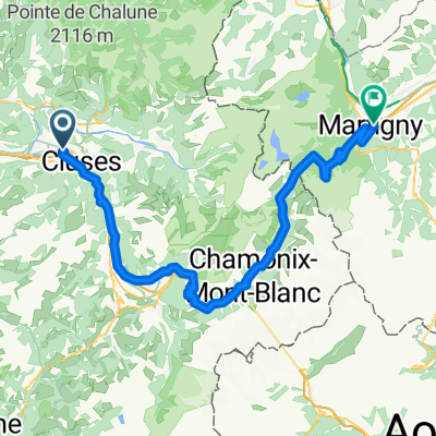 GTJR6_Cluses-Chamonix-Martigny
- Distance
- 93.5 km
- Ascent
- 2,471 m
- Descent
- 2,476 m
- Location
- Thyez, Auvergne-Rhône-Alpes, France
 2. Thiez - Ste Hélène
- Distance
- 102.9 km
- Ascent
- 2,219 m
- Descent
- 2,381 m
- Location
- Thyez, Auvergne-Rhône-Alpes, France
 De Rue des Sorbiers 320, Thyez à Chemin des Écureuils 107, Passy
- Distance
- 31.8 km
- Ascent
- 420 m
- Descent
- 299 m
- Location
- Thyez, Auvergne-Rhône-Alpes, France
 Itinéraire facile en
- Distance
- 10.4 km
- Ascent
- 528 m
- Descent
- 46 m
- Location
- Thyez, Auvergne-Rhône-Alpes, France
Open it in the app