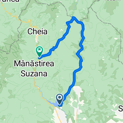
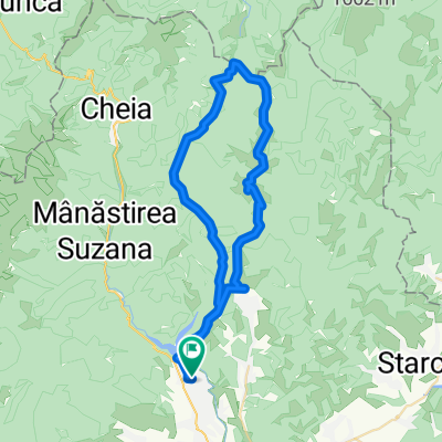
Maneciu - Tabla Butii
- 48.6 km
- 1,068 m
- 1,080 m
- Măneciu-Ungureni, Prahova, Romania
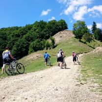
A cycling route starting in Măneciu-Ungureni, Prahova, Romania.
Overview
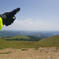
Crossing the ridge of the Tataru Mountains and return through the Stanii Valley.
Route quality
Track
27 km
(55 %)
Quiet road
22.1 km
(45 %)
Unpaved
46.7 km
(95 %)
Loose gravel
25.6 km
(52 %)
Ground
18.7 km
(38 %)
Continue with Bikemap
You would like to ride Creasta Muntilor Tataru or customize it for your own trip? Here is what you can do with this Bikemap route:
Free trial for 3 days, or one-time payment. More about Bikemap Premium.
Discover more Premium features.
Get Bikemap PremiumFrom our community
Open it in the app