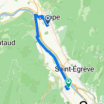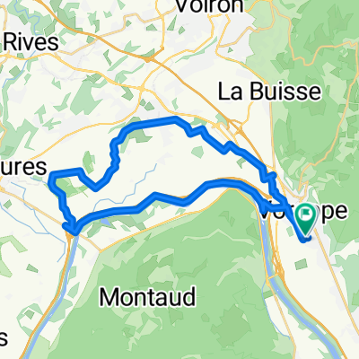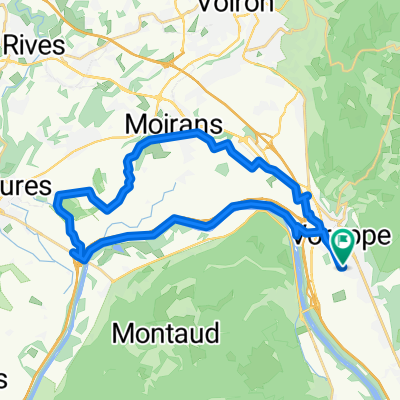
Itinéraire à Voreppe
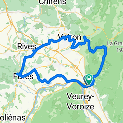
- 30.1 km
- 88 m
- 88 m
- Voreppe, Auvergne-Rhône-Alpes, France
A cycling route starting in Voreppe, Auvergne-Rhône-Alpes, France.
Overview
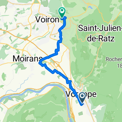
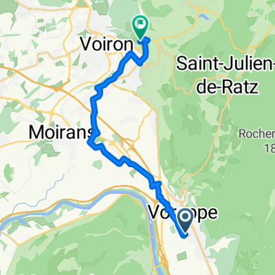
Voreppe-Criel-Voiron-St Julien-Voreppe
created this 12 years ago
Route quality
Quiet road
16.2 km
(33 %)
Cycleway
4.4 km
(9 %)
Paved
27 km
(55 %)
Unpaved
1.5 km
(3 %)
Asphalt
27 km
(55 %)
Gravel
1.5 km
(3 %)
Undefined
20.6 km
(42 %)
Continue with Bikemap
You would like to ride tour des routes perdues or customize it for your own trip? Here is what you can do with this Bikemap route:
Free trial for 3 days, or one-time payment. More about Bikemap Premium.
Discover more Premium features.
Get Bikemap PremiumFrom our community
Open it in the app