9. Paks naar Győr
- 200.1 km
- 1,234 m
- 1,205 m
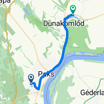
- Paks, Tolna County, Hungary
A cycling route starting in Paks, Tolna County, Hungary.
Overview
76 km loop around Paks on a racing bike
created this 12 years ago
Route quality
Quiet road
4.6 km
(6 %)
Track
3.8 km
(5 %)
Paved
29.1 km
(38 %)
Unpaved
0.8 km
(1 %)
Asphalt
28.3 km
(37 %)
Paved (undefined)
0.8 km
(1 %)
Continue with Bikemap
You would like to ride Paksi kör or customize it for your own trip? Here is what you can do with this Bikemap route:
Free trial for 3 days, or one-time payment. More about Bikemap Premium.
Discover more Premium features.
Get Bikemap PremiumFrom our community
Open it in the app