

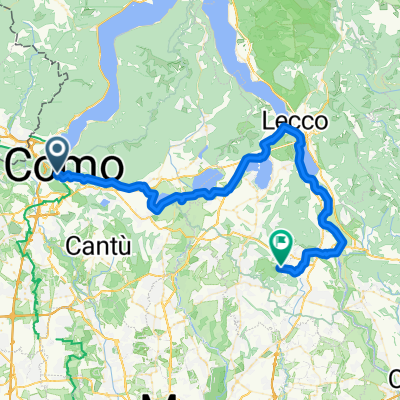
Como
A cycling route starting in Como, Lombardy, Italy.
Overview
About this route
How
- -:--
- Duration
- 17.5 km
- Distance
- 277 m
- Ascent
- 277 m
- Descent
- ---
- Avg. speed
- ---
- Max. altitude

Continue with Bikemap
Use, edit, or download this cycling route
You would like to ride Como or customize it for your own trip? Here is what you can do with this Bikemap route:
Free features
- Save this route as favorite or in collections
- Copy & plan your own version of this route
- Sync your route with Garmin or Wahoo
Premium features
Free trial for 3 days, or one-time payment. More about Bikemap Premium.
- Navigate this route on iOS & Android
- Export a GPX / KML file of this route
- Create your custom printout (try it for free)
- Download this route for offline navigation
Discover more Premium features.
Get Bikemap PremiumFrom our community
Other popular routes starting in Como
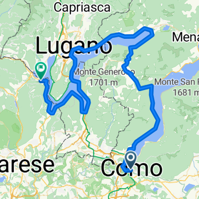
 Spina Verde
- Distance
- 25.7 km
- Ascent
- 532 m
- Descent
- 532 m
- Location
- Como, Lombardy, Italy
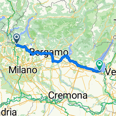
 Como - Canova-San Zeno
- Distance
- 61.5 km
- Ascent
- 798 m
- Descent
- 693 m
- Location
- Como, Lombardy, Italy
 Como-Colma-Erba-Como
- Distance
- 57.1 km
- Ascent
- 1,457 m
- Descent
- 1,455 m
- Location
- Como, Lombardy, Italy
 Piazza Cacciatori delle Alpi, Como nach Piazza Virgilio, Sirmione
- Distance
- 192.1 km
- Ascent
- 1,531 m
- Descent
- 1,666 m
- Location
- Como, Lombardy, Italy
 Lago di Como - Andata
- Distance
- 91.9 km
- Ascent
- 824 m
- Descent
- 832 m
- Location
- Como, Lombardy, Italy
 Viale Fratelli Rosselli to Via Emilio Broglio
- Distance
- 50.3 km
- Ascent
- 320 m
- Descent
- 393 m
- Location
- Como, Lombardy, Italy
 Etappe 4: Como - Mailand
- Distance
- 44.7 km
- Ascent
- 290 m
- Descent
- 372 m
- Location
- Como, Lombardy, Italy
 Day 3 Como to Lavena Ponte Tresa - over the hill
- Distance
- 89.6 km
- Ascent
- 877 m
- Descent
- 809 m
- Location
- Como, Lombardy, Italy
Open it in the app