Oko Buškog jezera 1.0
- 57.8 km
- 763 m
- 747 m
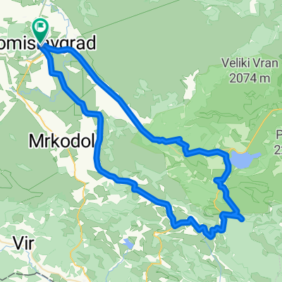
- Tomislavgrad, Federation of Bosnia and Herzegovina, Bosnia and Herzegovina
A cycling route starting in Tomislavgrad, Federation of Bosnia and Herzegovina, Bosnia and Herzegovina.
Overview
TG-Ćavarov stan-Studena-Rakitno-Blidinje-TG
created this 12 years ago
Route quality
Track
20.4 km
(26 %)
Quiet road
13.3 km
(17 %)
Paved
38.4 km
(49 %)
Unpaved
16.4 km
(21 %)
Asphalt
38.4 km
(49 %)
Gravel
11.7 km
(15 %)
Continue with Bikemap
You would like to ride TG-Studena-Rakitno-Blidinje-TG or customize it for your own trip? Here is what you can do with this Bikemap route:
Free trial for 3 days, or one-time payment. More about Bikemap Premium.
Discover more Premium features.
Get Bikemap PremiumFrom our community
Open it in the app