

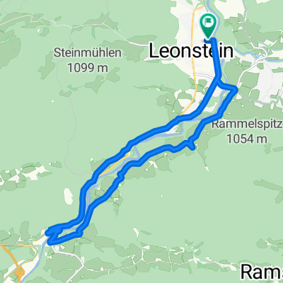
Hochbaumgarten - Haindlmühle-Graben - Hochbaumgarten
A cycling route starting in Micheldorf in Oberösterreich, Upper Austria, Austria.
Overview
About this route
Hochbaumgarten, village center of Oberschlierbach, Haindlmühle-Graben, gravel road and hiking trail to the Habringer Cross,
- -:--
- Duration
- 16.2 km
- Distance
- 502 m
- Ascent
- 493 m
- Descent
- ---
- Avg. speed
- ---
- Max. altitude
Route quality
Waytypes & surfaces along the route
Waytypes
Quiet road
6.3 km
(39 %)
Track
6.2 km
(38 %)
Road
3.7 km
(23 %)
Surfaces
Paved
3.6 km
(22 %)
Unpaved
5.5 km
(34 %)
Gravel
3.9 km
(24 %)
Asphalt
3.1 km
(19 %)
Continue with Bikemap
Use, edit, or download this cycling route
You would like to ride Hochbaumgarten - Haindlmühle-Graben - Hochbaumgarten or customize it for your own trip? Here is what you can do with this Bikemap route:
Free features
- Save this route as favorite or in collections
- Copy & plan your own version of this route
- Sync your route with Garmin or Wahoo
Premium features
Free trial for 3 days, or one-time payment. More about Bikemap Premium.
- Navigate this route on iOS & Android
- Export a GPX / KML file of this route
- Create your custom printout (try it for free)
- Download this route for offline navigation
Discover more Premium features.
Get Bikemap PremiumFrom our community
Other popular routes starting in Micheldorf in Oberösterreich
 2025_08_18_Micheldorf-Weyregg
- Distance
- 66.8 km
- Ascent
- 1,770 m
- Descent
- 1,754 m
- Location
- Micheldorf in Oberösterreich, Upper Austria, Austria
 Micheld. Sattlhald ZiehbergSender Lauterbach
- Distance
- 33.7 km
- Ascent
- 969 m
- Descent
- 969 m
- Location
- Micheldorf in Oberösterreich, Upper Austria, Austria
 2025_Micheldorf-Scharnstein
- Distance
- 54.6 km
- Ascent
- 2,176 m
- Descent
- 2,176 m
- Location
- Micheldorf in Oberösterreich, Upper Austria, Austria
 Zimekrunde
- Distance
- 18.1 km
- Ascent
- 355 m
- Descent
- 356 m
- Location
- Micheldorf in Oberösterreich, Upper Austria, Austria
 Von Klaus an der Pyhrnbahn bis Rosenau am Hengstpaß
- Distance
- 33.1 km
- Ascent
- 1,053 m
- Descent
- 756 m
- Location
- Micheldorf in Oberösterreich, Upper Austria, Austria
 Tour de Croatia 2 Klauser See-Trieben
- Distance
- 68 km
- Ascent
- 1,297 m
- Descent
- 1,093 m
- Location
- Micheldorf in Oberösterreich, Upper Austria, Austria
 zum See über Klaus am Radweg
- Distance
- 19.2 km
- Ascent
- 185 m
- Descent
- 177 m
- Location
- Micheldorf in Oberösterreich, Upper Austria, Austria
 Schlierbach - Viechtwang
- Distance
- 17.9 km
- Ascent
- 314 m
- Descent
- 203 m
- Location
- Micheldorf in Oberösterreich, Upper Austria, Austria
Open it in the app