Albextrem2022 260 km
- 257.2 km
- 4,675 m
- 4,685 m
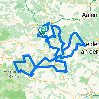
- Ottenbach, Baden-Wurttemberg, Germany
A cycling route starting in Ottenbach, Baden-Wurttemberg, Germany.
Overview
Officially 210 km with 3450m of climb, about 3500 competitors.
Very well organised with food and drink every 40km. The local people of the Alb chear you up the hills. Fantastic. created this 12 years ago
Route quality
Road
78.9 km
38 %
Quiet road
41.5 km
20 %
Paved
153.7 km
(74 %)
Asphalt
147.4 km
71 %
Paved (undefined)
6.2 km
3 %
Undefined
54 km
26 %
Route highlights
Food & Drink
Food and Drink
Food Stop
Food Stop
Continue with Bikemap
You would like to ride 20130630 Alb-Extrem 210km or customize it for your own trip? Here is what you can do with this Bikemap route:
Free trial for 3 days, or one-time payment. More about Bikemap Premium.
Discover more Premium features.
Get Bikemap PremiumFrom our community
Open it in the app