Zwickau nach Werdauer Straße 22A
- 12.4 km
- 160 m
- 79 m
- Zwickau, Saxony, Germany
A cycling route starting in Zwickau, Saxony, Germany.
Overview
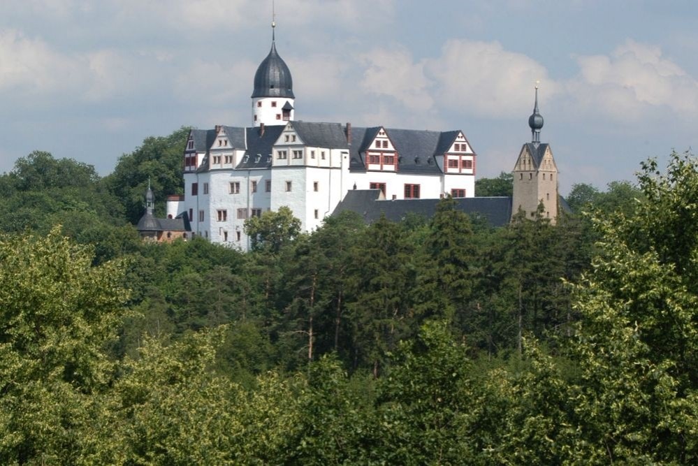
Start in Zwickau-Schedewitz, Mulderadweg to Haara, field/forest paths towards Culitzsch, Jägerbrünnel, Crossstrecke, Waldhaus Ebersbrunn, Haltepunkt Voigsgrün (from here on roads), Hauptmannsgrün, Ebersbrunn, Stenn, Lichtentanne, Brand, ex. RAW, Marientaler Bachweg, Bahnhofsvorstadt, Schwanenteich, Fuchsgraben, destination reached.
The first part requires a lot from the rider and the bike, especially from Jägerbrünnel to Crossstrecke. Between Crossstrecke and the road to Hirschfeld, it is not possible to go via the hiking path, as it is partly impassable. Up to the Waldhaus, you go via the 'Waldautobahn', where around 2005 a gas line was laid and the forest path was rebuilt. The path along the railway was created in the early 90s with an ABM, and is demanding for the bike. On the road between Schönfels and Voigtsgrün, the 'Offroad' part is finished, from here only roads, paved paths, and no steep inclines.
created this 16 years ago
Route quality
Road
14.9 km
(34 %)
Track
8.8 km
(20 %)
Paved
25 km
(57 %)
Unpaved
12.7 km
(29 %)
Asphalt
24.6 km
(56 %)
Gravel
5.7 km
(13 %)
Continue with Bikemap
You would like to ride Südroute1 or customize it for your own trip? Here is what you can do with this Bikemap route:
Free trial for 3 days, or one-time payment. More about Bikemap Premium.
Discover more Premium features.
Get Bikemap PremiumFrom our community
Open it in the app