

Obersontheim - Altenberg - Obersontheim
A cycling route starting in Obersontheim, Baden-Wurttemberg, Germany.
Overview
About this route
Schöne Tour durch die Natur!
- -:--
- Duration
- 40 km
- Distance
- 463 m
- Ascent
- 463 m
- Descent
- ---
- Avg. speed
- ---
- Max. altitude
Route highlights
Points of interest along the route
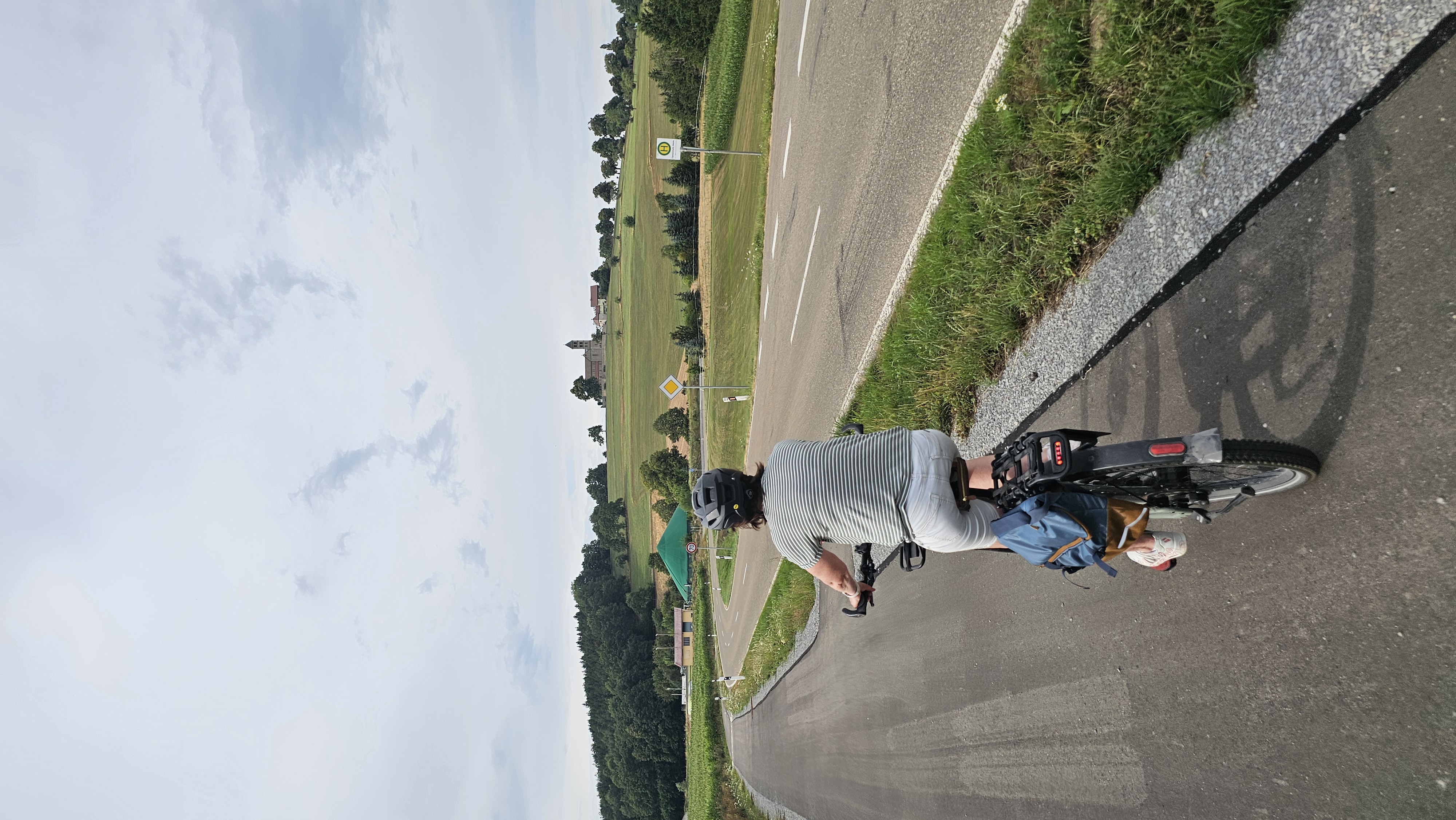
Point of interest after 19.2 km
Altenberg! Tolle Aussicht ;)
Continue with Bikemap
Use, edit, or download this cycling route
You would like to ride Obersontheim - Altenberg - Obersontheim or customize it for your own trip? Here is what you can do with this Bikemap route:
Free features
- Save this route as favorite or in collections
- Copy & plan your own version of this route
- Sync your route with Garmin or Wahoo
Premium features
Free trial for 3 days, or one-time payment. More about Bikemap Premium.
- Navigate this route on iOS & Android
- Export a GPX / KML file of this route
- Create your custom printout (try it for free)
- Download this route for offline navigation
Discover more Premium features.
Get Bikemap PremiumFrom our community
Other popular routes starting in Obersontheim
 Gaildorfer Straße nach Im Bergfeld
- Distance
- 38.4 km
- Ascent
- 347 m
- Descent
- 384 m
- Location
- Obersontheim, Baden-Wurttemberg, Germany
 Salbeiweg 24, Obersontheim nach Salbeiweg 11, Obersontheim
- Distance
- 42.3 km
- Ascent
- 443 m
- Descent
- 441 m
- Location
- Obersontheim, Baden-Wurttemberg, Germany
 Fischachtal + Frankenhardter Wald CLONED FROM ROUTE 189180
- Distance
- 57.7 km
- Ascent
- 423 m
- Descent
- 437 m
- Location
- Obersontheim, Baden-Wurttemberg, Germany
 Route 2
- Distance
- 45.2 km
- Ascent
- 455 m
- Descent
- 454 m
- Location
- Obersontheim, Baden-Wurttemberg, Germany
 Fischachtal + Frankenhardter Wald
- Distance
- 57.7 km
- Ascent
- 584 m
- Descent
- 590 m
- Location
- Obersontheim, Baden-Wurttemberg, Germany
 Obersontheim - Altenberg - Obersontheim
- Distance
- 40 km
- Ascent
- 463 m
- Descent
- 463 m
- Location
- Obersontheim, Baden-Wurttemberg, Germany
 Veilchenweg nach Im Bergfeld
- Distance
- 54.2 km
- Ascent
- 438 m
- Descent
- 490 m
- Location
- Obersontheim, Baden-Wurttemberg, Germany
 Bühlerursprung
- Distance
- 54.5 km
- Ascent
- 451 m
- Descent
- 452 m
- Location
- Obersontheim, Baden-Wurttemberg, Germany
Open it in the app