Gertrud-Bäumer-Straße, Troisdorf nach Gertrud-Bäumer-Straße, Troisdorf
- 15.4 km
- 114 m
- 113 m
- Troisdorf, North Rhine-Westphalia, Germany
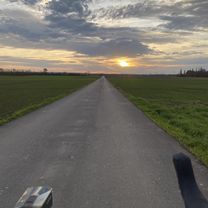
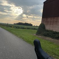
A cycling route starting in Troisdorf, North Rhine-Westphalia, Germany.
Overview
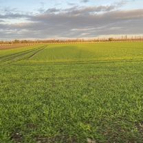
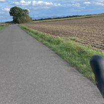
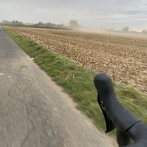
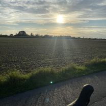
Hilly beautiful route.
Little traffic outside rush hour From Loope to Niederhof 14% gradient.created this 12 years ago
Route quality
Road
31.1 km
(34 %)
Path
10.1 km
(11 %)
Paved
82.3 km
(90 %)
Asphalt
82.3 km
(90 %)
Undefined
9.1 km
(10 %)
Continue with Bikemap
You would like to ride Bergische Land or customize it for your own trip? Here is what you can do with this Bikemap route:
Free trial for 3 days, or one-time payment. More about Bikemap Premium.
Discover more Premium features.
Get Bikemap PremiumFrom our community
Open it in the app