

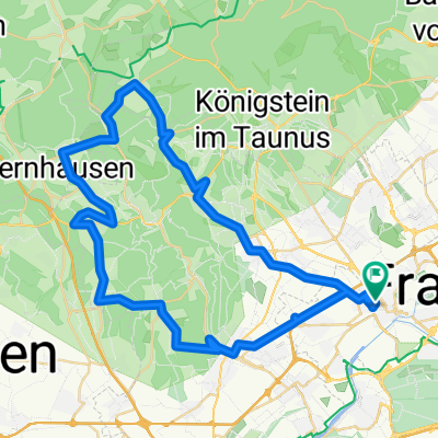
Grüngürtel
A cycling route starting in Sulzbach, Hesse, Germany.
Overview
About this route
Green Belt Tour
- -:--
- Duration
- 63 km
- Distance
- 213 m
- Ascent
- 215 m
- Descent
- ---
- Avg. speed
- ---
- Max. altitude

Route quality
Waytypes & surfaces along the route
Waytypes
Track
23.3 km
(37 %)
Path
22 km
(35 %)
Surfaces
Paved
40.3 km
(64 %)
Unpaved
20.2 km
(32 %)
Asphalt
39.1 km
(62 %)
Gravel
18.9 km
(30 %)
Route highlights
Points of interest along the route
Point of interest after 1.3 km
Station Nied
Point of interest after 4.5 km
Station Bockenheim
Point of interest after 6.4 km
Station Rödelheim / Hausen
Point of interest after 8.1 km
Station Hausen
Point of interest after 9.6 km
Station Praunheim
Point of interest after 10.8 km
Station Ginnheim
Point of interest after 12.5 km
Station Eschersheim
Point of interest after 14.2 km
Station Bonames
Point of interest after 17.7 km
Station Berkersheim
Point of interest after 18.7 km
Station Preungesheim
Point of interest after 22.1 km
Treffpunkt Seckbach
Point of interest after 23.9 km
Station Bergen-Enkheim
Point of interest after 29.9 km
Station 2 Bergen-Enkheim
Point of interest after 32.1 km
Station Riederwald
Point of interest after 34.7 km
Station Fechenheim
Point of interest after 39.5 km
Station Offenbach
Point of interest after 44 km
Station Oberrad
Point of interest after 47.9 km
Station Sachsenhausen
Point of interest after 51.3 km
Station Stadion
Point of interest after 56.7 km
Station Goldstein
Point of interest after 58.9 km
Station Schwanheim
Point of interest after 63 km
Station Höchst
Continue with Bikemap
Use, edit, or download this cycling route
You would like to ride Grüngürtel or customize it for your own trip? Here is what you can do with this Bikemap route:
Free features
- Save this route as favorite or in collections
- Copy & plan your own version of this route
- Sync your route with Garmin or Wahoo
Premium features
Free trial for 3 days, or one-time payment. More about Bikemap Premium.
- Navigate this route on iOS & Android
- Export a GPX / KML file of this route
- Create your custom printout (try it for free)
- Download this route for offline navigation
Discover more Premium features.
Get Bikemap PremiumFrom our community
Other popular routes starting in Sulzbach
 A2 + K2 71,15 km
- Distance
- 71.1 km
- Ascent
- 519 m
- Descent
- 522 m
- Location
- Sulzbach, Hesse, Germany
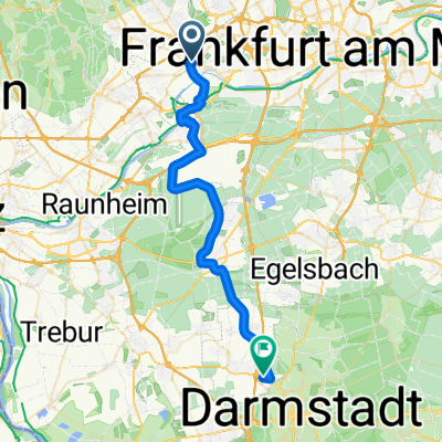 Frankfurt Darmstadt
- Distance
- 34.2 km
- Ascent
- 59 m
- Descent
- 58 m
- Location
- Sulzbach, Hesse, Germany
 kleine Runde mit Berg
- Distance
- 41.6 km
- Ascent
- 474 m
- Descent
- 407 m
- Location
- Sulzbach, Hesse, Germany
 Taunus - Fuchstanz
- Distance
- 42.5 km
- Ascent
- 748 m
- Descent
- 748 m
- Location
- Sulzbach, Hesse, Germany
 Frankfurt Hoechst - Sachsenhausen - City - Runde
- Distance
- 29.3 km
- Ascent
- 179 m
- Descent
- 177 m
- Location
- Sulzbach, Hesse, Germany
 Frankfurt Höchst - Grüngürtel
- Distance
- 61.8 km
- Ascent
- 366 m
- Descent
- 363 m
- Location
- Sulzbach, Hesse, Germany
 Henninger Rennen 102km
- Distance
- 98.6 km
- Ascent
- 649 m
- Descent
- 649 m
- Location
- Sulzbach, Hesse, Germany
 Josbachrunde
- Distance
- 54.6 km
- Ascent
- 846 m
- Descent
- 776 m
- Location
- Sulzbach, Hesse, Germany
Open it in the app