RR-Berg: St. Michael - Flattnitz - FE - HA
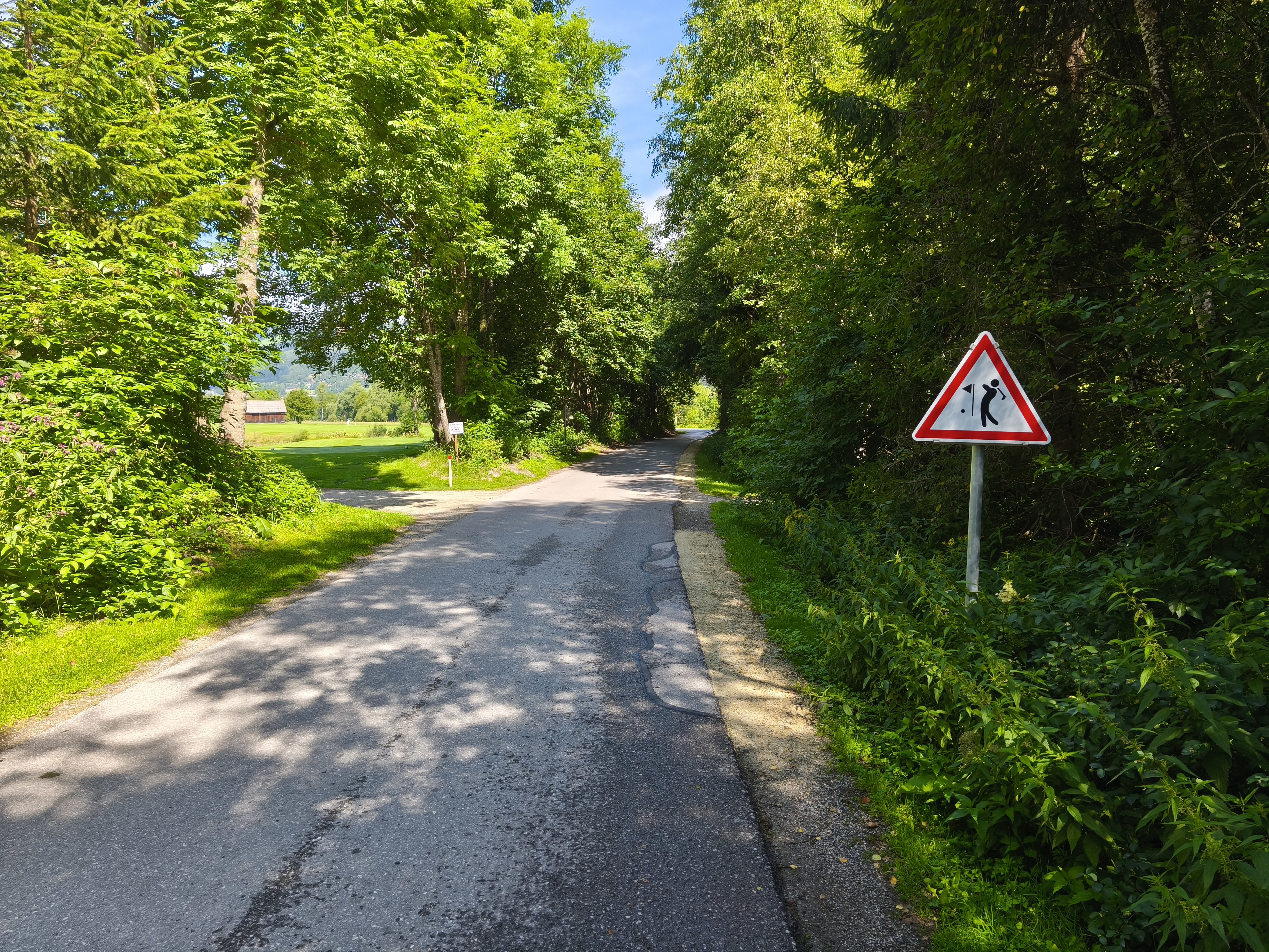
A cycling route starting in St Michael im Lungau, Salzburg, Austria.
Overview
About this route
RR-Berg: St. Michael/Lungau - Murtal Cycle Path R2 - St. Margrethen/Lungau - Stadl an der Mur (30 km) - Flattnitz - Kleinglödnitz (Gurktal) - Feldkirchen - Haiden 84.5 km
- -:--
- Duration
- 88.4 km
- Distance
- 683 m
- Ascent
- 1,163 m
- Descent
- ---
- Avg. speed
- ---
- Max. altitude
Route quality
Waytypes & surfaces along the route
Waytypes
Quiet road
1.8 km
(2 %)
Track
0.9 km
(1 %)
Undefined
85.8 km
(97 %)
Surfaces
Paved
49.5 km
(56 %)
Asphalt
49.5 km
(56 %)
Undefined
38.9 km
(44 %)
Continue with Bikemap
Use, edit, or download this cycling route
You would like to ride RR-Berg: St. Michael - Flattnitz - FE - HA or customize it for your own trip? Here is what you can do with this Bikemap route:
Free features
- Save this route as favorite or in collections
- Copy & plan your own version of this route
- Split it into stages to create a multi-day tour
- Sync your route with Garmin or Wahoo
Premium features
Free trial for 3 days, or one-time payment. More about Bikemap Premium.
- Navigate this route on iOS & Android
- Export a GPX / KML file of this route
- Create your custom printout (try it for free)
- Download this route for offline navigation
Discover more Premium features.
Get Bikemap PremiumFrom our community
Other popular routes starting in St Michael im Lungau
Murradweg- Distance
- 450.9 km
- Ascent
- 89 m
- Descent
- 1,029 m
- Location
- St Michael im Lungau, Salzburg, Austria
From Sankt Michael im Lungau to Bad Radkersburg- Distance
- 315.9 km
- Ascent
- 2,716 m
- Descent
- 3,569 m
- Location
- St Michael im Lungau, Salzburg, Austria
Muhrradweg- Distance
- 19 km
- Ascent
- 89 m
- Descent
- 90 m
- Location
- St Michael im Lungau, Salzburg, Austria
01 Variante- Distance
- 67.1 km
- Ascent
- 1,061 m
- Descent
- 1,590 m
- Location
- St Michael im Lungau, Salzburg, Austria
st michael _graz __baden 2025- Distance
- 451.7 km
- Ascent
- 4,741 m
- Descent
- 5,557 m
- Location
- St Michael im Lungau, Salzburg, Austria
Poststraße nach Käferhube Weg- Distance
- 64.3 km
- Ascent
- 825 m
- Descent
- 842 m
- Location
- St Michael im Lungau, Salzburg, Austria
Murradweg- Distance
- 303.3 km
- Ascent
- 116 m
- Descent
- 980 m
- Location
- St Michael im Lungau, Salzburg, Austria
RR-Berg: St. Michael - Flattnitz - FE - HA- Distance
- 88.4 km
- Ascent
- 683 m
- Descent
- 1,163 m
- Location
- St Michael im Lungau, Salzburg, Austria
Open it in the app


