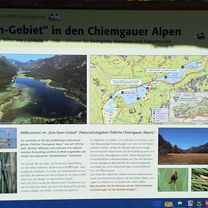
Röthelmoosalm
- 54.2 km
- 1,396 m
- 1,398 m
- Ruhpolding, Bavaria, Germany
A cycling route starting in Ruhpolding, Bavaria, Germany.
Overview
Hour trip!
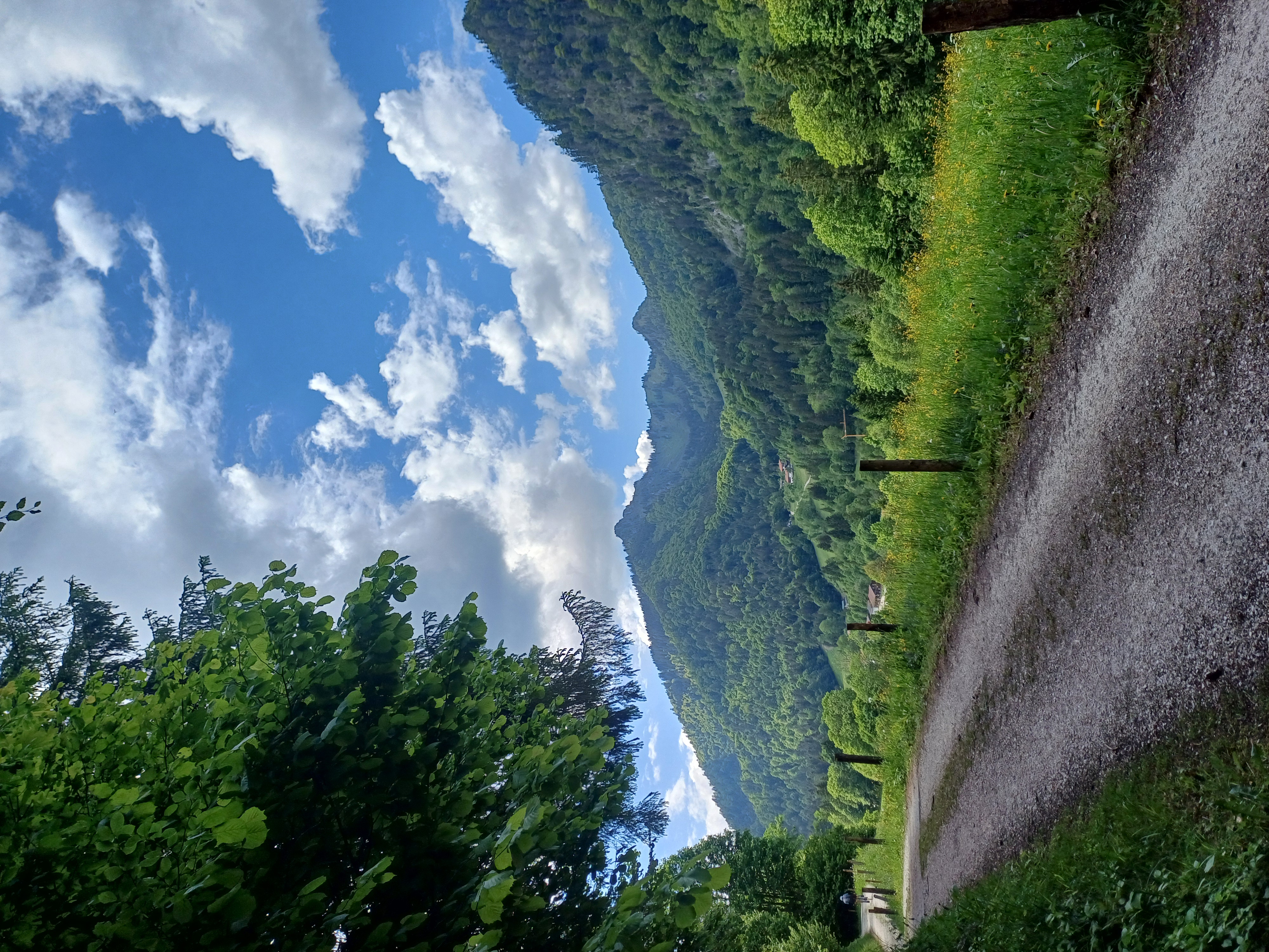
Climbing from Ruhpolding to the pastures, then carrying 300 hm. Anyone who runs out of breath for the last 100 hm or doesn’t fancy squeezing their bike through the narrow passage, can also shorten the route and skip the summit.
Now comes the Lohneneder section, the descent!
The trail descent is initially bumpy and sometimes tricky but soon becomes easier to ride. It's a lot of fun from top to bottom.
created this 12 years ago
Continue with Bikemap
You would like to ride Hochfellen or customize it for your own trip? Here is what you can do with this Bikemap route:
Free trial for 3 days, or one-time payment. More about Bikemap Premium.
Discover more Premium features.
Get Bikemap PremiumFrom our community
Open it in the app