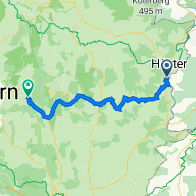
Godelheim/Maygadessen-Weserradweg-Diemelradweg-Warburg_u_zurueck
A cycling route starting in Boffzen, Lower Saxony, Germany.
Overview
About this route
Godelheim/Maygadessen > Weser Cycle Path to Bad Karlshafen > Diemel Cycle Path R8. First section of the Diemel Cycle Path from Helmarshausen on the former railway embankment. > Trendelburg > Warburg. Return from Bad Karlshafen only due to the great heat on the western side of the Weser. According to my bike counter, 135 km.
- -:--
- Duration
- 126.1 km
- Distance
- 702 m
- Ascent
- 703 m
- Descent
- ---
- Avg. speed
- 211 m
- Max. altitude
Route quality
Waytypes & surfaces along the route
Waytypes
Track
73.1 km
(58 %)
Quiet road
21.4 km
(17 %)
Surfaces
Paved
116 km
(92 %)
Unpaved
6.3 km
(5 %)
Asphalt
109.7 km
(87 %)
Paved (undefined)
5 km
(4 %)
Continue with Bikemap
Use, edit, or download this cycling route
You would like to ride Godelheim/Maygadessen-Weserradweg-Diemelradweg-Warburg_u_zurueck or customize it for your own trip? Here is what you can do with this Bikemap route:
Free features
- Save this route as favorite or in collections
- Copy & plan your own version of this route
- Split it into stages to create a multi-day tour
- Sync your route with Garmin or Wahoo
Premium features
Free trial for 3 days, or one-time payment. More about Bikemap Premium.
- Navigate this route on iOS & Android
- Export a GPX / KML file of this route
- Create your custom printout (try it for free)
- Download this route for offline navigation
Discover more Premium features.
Get Bikemap PremiumFrom our community
Other popular routes starting in Boffzen
Marienmünster_lang- Distance
- 72.4 km
- Ascent
- 268 m
- Descent
- 268 m
- Location
- Boffzen, Lower Saxony, Germany
Megarunde Polle- Distance
- 64.5 km
- Ascent
- 424 m
- Descent
- 424 m
- Location
- Boffzen, Lower Saxony, Germany
Godelheimer Straße 55, Höxter nach Cheruskerstraße 25, Altenbeken- Distance
- 47.8 km
- Ascent
- 437 m
- Descent
- 256 m
- Location
- Boffzen, Lower Saxony, Germany
Godelheim Brakel- Distance
- 46.4 km
- Ascent
- 142 m
- Descent
- 142 m
- Location
- Boffzen, Lower Saxony, Germany
Godelheim - Beverungen - Höxter- Distance
- 32 km
- Ascent
- 180 m
- Descent
- 180 m
- Location
- Boffzen, Lower Saxony, Germany
Godelheim - Ottbergen durchs Nethetal- Distance
- 20.5 km
- Ascent
- 87 m
- Descent
- 89 m
- Location
- Boffzen, Lower Saxony, Germany
L549 1, Boffzen nach Zeppelinstraße 30, Holzminden- Distance
- 12.7 km
- Ascent
- 48 m
- Descent
- 68 m
- Location
- Boffzen, Lower Saxony, Germany
Godelheim - Höxter - Brenkhausen- Distance
- 24.3 km
- Ascent
- 97 m
- Descent
- 98 m
- Location
- Boffzen, Lower Saxony, Germany
Open it in the app

