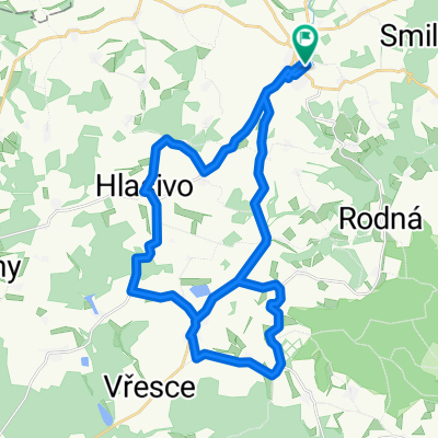
gfdgfgf
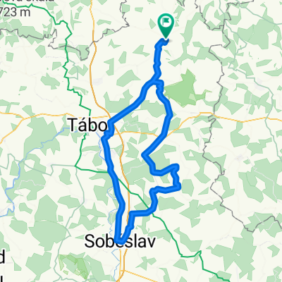
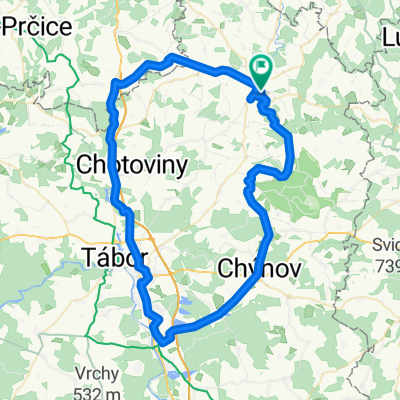
- 70.6 km
- 550 m
- 551 m
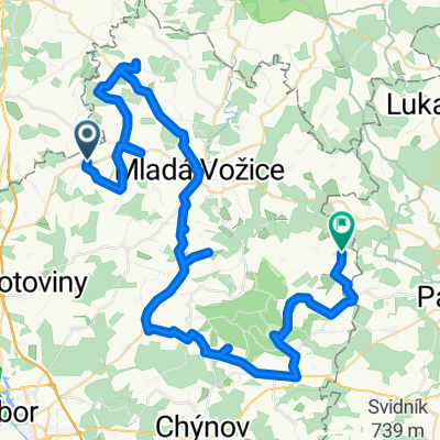
- Mladá Vožice, Jihočeský kraj, Czechia
A cycling route starting in Mladá Vožice, Jihočeský kraj, Czechia.
Overview
A little descent, then the climb to Blanik, the first ride with Otto's new bike.
created this 16 years ago
Continue with Bikemap
You would like to ride Bzova 2009 or customize it for your own trip? Here is what you can do with this Bikemap route:
Free trial for 3 days, or one-time payment. More about Bikemap Premium.
Discover more Premium features.
Get Bikemap PremiumFrom our community
Open it in the app